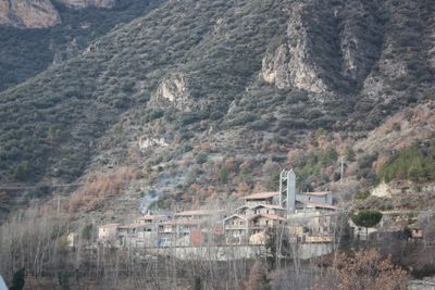
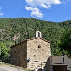
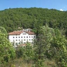
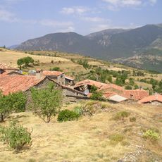
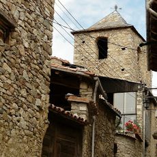
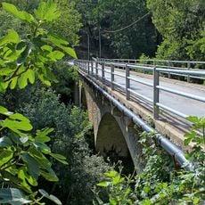
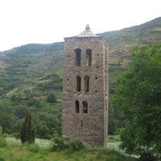
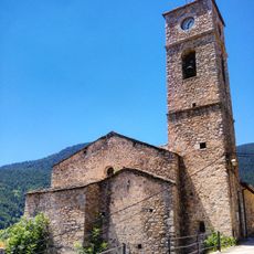
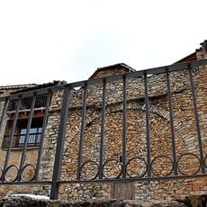
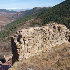
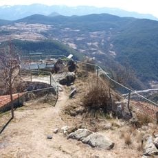
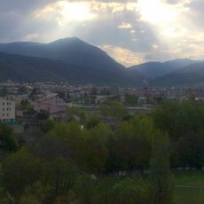
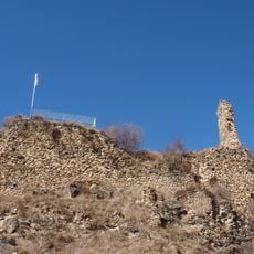
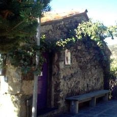
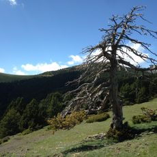
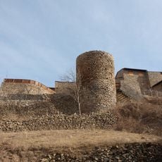
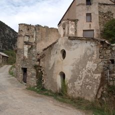
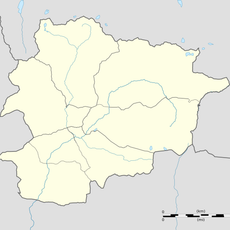
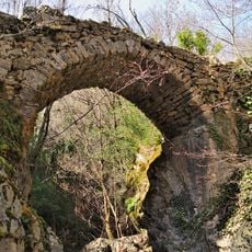
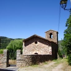
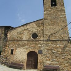
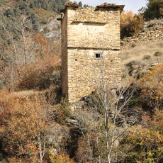
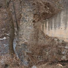
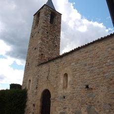
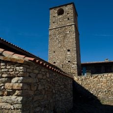
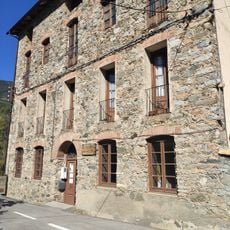
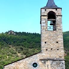
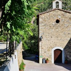
El Pont de Bar, municipality of Spain
Location: Alt Urgell
Elevation above the sea: 861 m
Shares border with: Lles de Cerdanya, Les Valls de Valira, Montellà i Martinet, Cava, Arsèguel, Estamariu
Website: http://pontbar.ddl.net
GPS coordinates: 42.37417,1.60611
Latest update: March 8, 2025 02:08
El Baridà
2.4 km
Els Banys de Sant Vicenç
1.2 km
Balneari de Senillers
6.3 km
Sant Esteve de Bar
3.2 km
Church of Saint Fructuosus of Músser
5 km
Pont d'Arsèguel
2 km
Campanar de Sant Martí de Bescaran
5.8 km
Sant Martí d'Arànser
5.9 km
Castell d'Arsèguel
3.3 km
Castell de Bar
3.3 km
Castell d'Aristot
1.5 km
Roc Beneïdor
3.8 km
Castell de Carcolze
2.5 km
Museu de la Vinya i el Vi de Muntanya
286 m
Pla de Llet
4 km
Castell de Toloriu
2.2 km
Sant Ermengol del Pont de Bar
206 m
Roc Gros
3.6 km
Pont de la Tosca (Arsèguel)
3.6 km
Sant Climent de Cava
5.5 km
Sant Martí de Bescaran
6 km
Torre Colomer de Bescaran
6 km
Pont del Pont de Bar
1.1 km
Sant Andreu d'Aristot
1.6 km
Sant Jaume de Toloriu
2.3 km
Arsèguel Wool Manufacturing
2 km
Església parroquial de Santa Coloma
3.2 km
Capella de Sant Vicenç
1.2 kmReviews
Visited this place? Tap the stars to rate it and share your experience / photos with the community! Try now! You can cancel it anytime.
Discover hidden gems everywhere you go!
From secret cafés to breathtaking viewpoints, skip the crowded tourist spots and find places that match your style. Our app makes it easy with voice search, smart filtering, route optimization, and insider tips from travelers worldwide. Download now for the complete mobile experience.
A unique approach to discovering new places❞
— Le Figaro
All the places worth exploring❞
— France Info
A tailor-made excursion in just a few clicks❞
— 20 Minutes