
Torrelameu, municipality of Spain
Location: Noguera
Elevation above the sea: 201 m
Part of: Mancomunitat Intermunicipal del Camí Natural de la Noguera Baixa
Shares border with: Albesa, Menàrguens, Vilanova de la Barca, Corbins
Website: http://torrelameu.cat
GPS coordinates: 41.70667,0.70306
Latest update: March 8, 2025 18:08
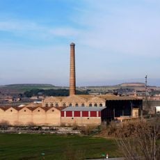
La Sucrera del Segre
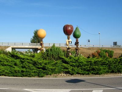
4.3 km
Castell de Corbins
1.7 km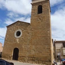
Església de l'Assumpció de Torrelameu
210 m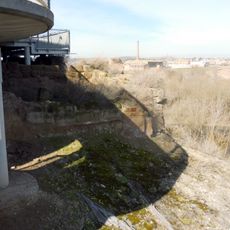
Castell de Térmens
4.8 km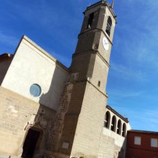
Antiga església de Sant Joan
4.8 km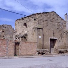
Santa Maria de Vilanova de la Barca
2.7 km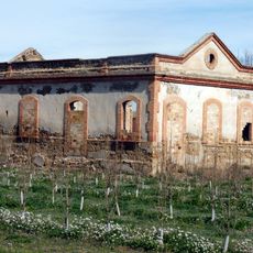
Carrilet station
4.4 km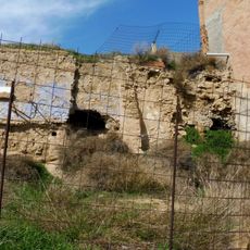
Castell de Menàrguens
4.3 km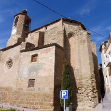
Sant Vicenç de Menàrguens
4.2 km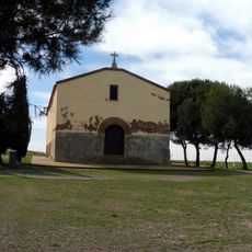
Ermita de la Santa Creu
3.6 km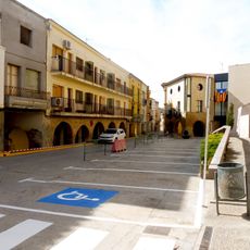
Plaça de l'Església
4.2 km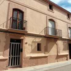
House in carrer del Forn, 35
188 m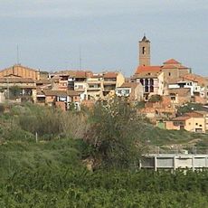
Sant Jaume de Corbins
1.7 km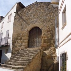
Sant Pere de Menàrguens
4.1 km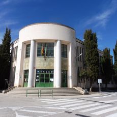
Escola pública de Menàrguens
4.1 km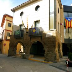
Ajuntament de Menàrguens
4.2 km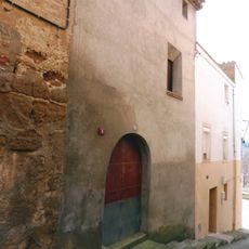
House in carrer Boteres, 7
227 m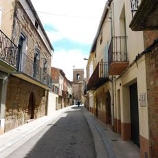
Carrer Major
174 m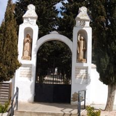
Cementiri Municipal de Torrelameu
428 m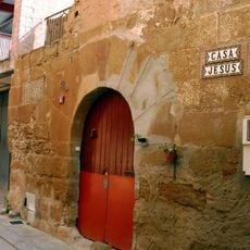
Casa Jesús
204 m
Molí de Térmens
5 km
Antiga caserna de la Guàrdia Civil
4.3 km
Antiga fusteria de Térmens
4.9 km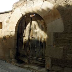
House in carrer Major, 9
4.8 km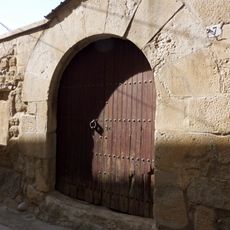
House in carrer Major, 7
4.8 km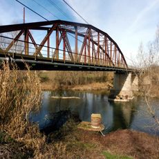
Pont de la Sucrera
4.7 km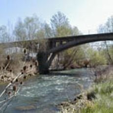
Pont de Corbins
1.6 km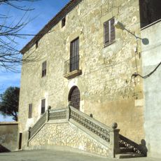
Lo Castell
1.7 kmVisited this place? Tap the stars to rate it and share your experience / photos with the community! Try now! You can cancel it anytime.
Discover hidden gems everywhere you go!
From secret cafés to breathtaking viewpoints, skip the crowded tourist spots and find places that match your style. Our app makes it easy with voice search, smart filtering, route optimization, and insider tips from travelers worldwide. Download now for the complete mobile experience.

A unique approach to discovering new places❞
— Le Figaro
All the places worth exploring❞
— France Info
A tailor-made excursion in just a few clicks❞
— 20 Minutes