
Sanaüja, human settlement in Segarra, Ponent, Lleida Province, Spain
Location: Segarra
Elevation above the sea: 409 m
Shares border with: Torrefeta i Florejacs, Pinell de Solsonès, Biosca, Massoteres, Vilanova de l'Aguda
Website: http://sanauja.ddl.net
GPS coordinates: 41.87618,1.31054
Latest update: March 27, 2025 20:32
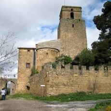
Castell de Ribelles
2.8 km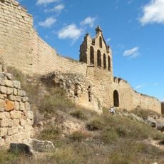
Castle
189 m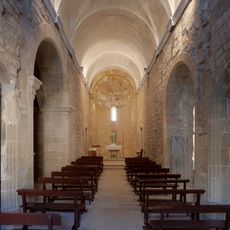
Santa Maria de Ribelles
2.8 km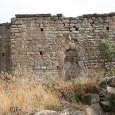
Sant Martí de la Figuera de l'Aguda
4.2 km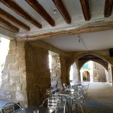
Els Porxos de la plaça
22 m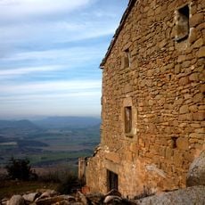
Castell de la Figuera de l'Aguda
4.3 km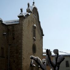
Santa Maria de Sanaüja
45 m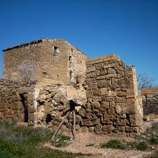
Rodamilans
5.2 km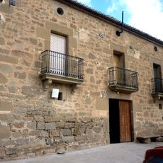
Mas Mascó
5.3 km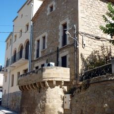
Ajuntament de Sanaüja
106 m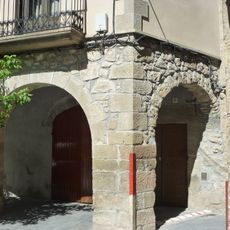
Ca l'Alet
58 m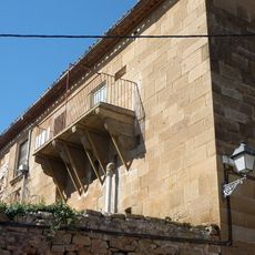
Casa Viles
5.7 km
Cal Garseta
64 m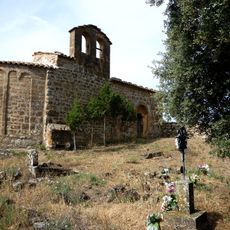
Sant Pere del Pujol
2.4 km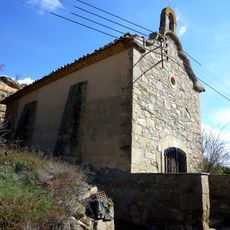
Mare de Déu dels Esclopets
2.3 km
Mas de Nadal
4.7 km
Santa Maria del Pla
747 m
Molí del Cava
4.5 km
Rocabandera
778 m
Pujol
2.5 km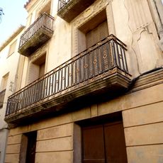
Cal Caus Petit (Sanaüja)
146 m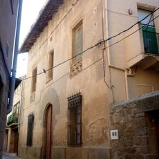
Cal Cortada
112 m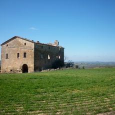
Mas Fiter
3.9 km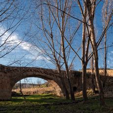
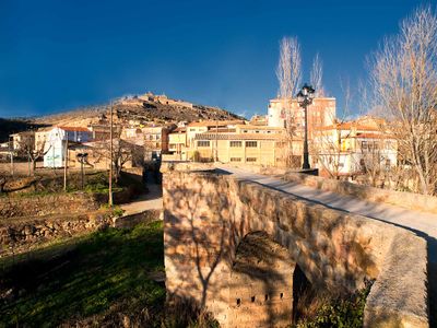
Pont de Sanaüja
210 m
Cal Senyoreta
203 m
Cal Segimon
42 m
Cal Canes
5.6 km
Cal Pujolà
48 mVisited this place? Tap the stars to rate it and share your experience / photos with the community! Try now! You can cancel it anytime.
Discover hidden gems everywhere you go!
From secret cafés to breathtaking viewpoints, skip the crowded tourist spots and find places that match your style. Our app makes it easy with voice search, smart filtering, route optimization, and insider tips from travelers worldwide. Download now for the complete mobile experience.

A unique approach to discovering new places❞
— Le Figaro
All the places worth exploring❞
— France Info
A tailor-made excursion in just a few clicks❞
— 20 Minutes