
Ivars d'Urgell, human settlement in Pla d'Urgell, Ponent, Lleida Province, Spain
Location: Pla d'Urgell
Elevation above the sea: 265 m
Part of: Mancomunitat Intermunicipal per a la Potabilització de les Aigües de Barbens, Castellnou de Seana, Ivars d´Urgell i Vila-sana
Shares border with: Barbens, Tornabous, Bellpuig, La Fuliola, Penelles, Castellnou de Seana, Vila-sana, Linyola
Website: http://ivarsurgell.ddl.net
GPS coordinates: 41.68081,0.98593
Latest update: May 1, 2025 01:15

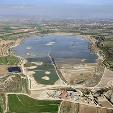
Estany d'Ivars i Vila-sana
3.1 km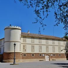
Castell del Remei
4.5 km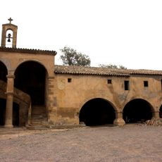
Montalé
2.4 km
Mare de Déu d'Horta d'Ivars d'Urgell
476 m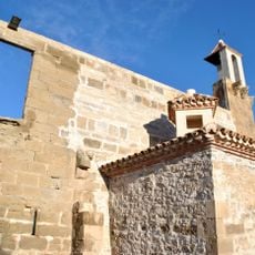
Castell del Bullidor
2.7 km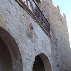
Comanda de Barbens
2.7 km
Castell de Montsuar
1.9 km
Mas de la Cendrosa
5.7 km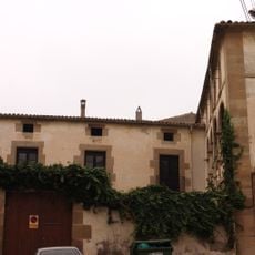
Cal Sant
211 m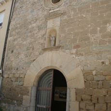
Santa Maria
2.7 km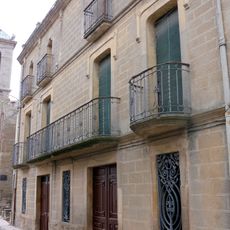
Ca la Simona
4.6 km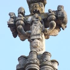
Creu de terme de Bullidor
2.7 km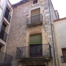
Cal Veciana
2.7 km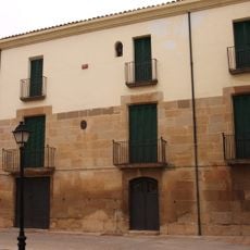
Cal Segarreta (Ivars d'Urgell)
230 m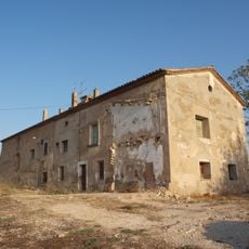
Cal Senyor (Vila-sana)
5 km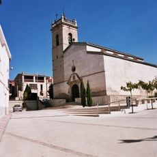
Sant Joan Baptista de Castellnou de Seana
3.8 km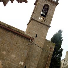
Santa Maria de Boldú
4.6 km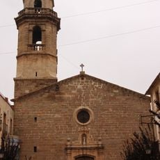
Sant Andreu d'Ivars d'Urgell
223 m
Creu de terme de Boldú
4.6 km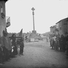
Capitell de creu de terme
3.8 km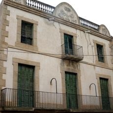
Cal Boada
4.6 km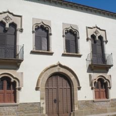
Torre Toralla
4.5 km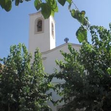
Sant Miquel de Vallverd
3.4 km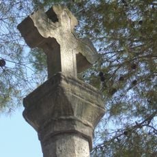
Creu de terme de Vallverd
3.4 km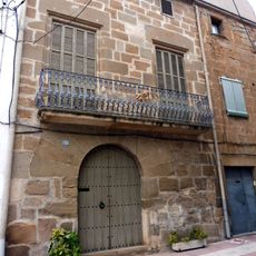
Cal Batalla
4.6 km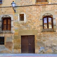
Nucli antic de Barbens
2.6 km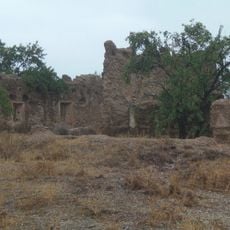
Molí del Novell i Molí de la Cendrosa
5.8 km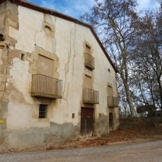
Molí del Remei
4.5 kmReviews
Visited this place? Tap the stars to rate it and share your experience / photos with the community! Try now! You can cancel it anytime.
Discover hidden gems everywhere you go!
From secret cafés to breathtaking viewpoints, skip the crowded tourist spots and find places that match your style. Our app makes it easy with voice search, smart filtering, route optimization, and insider tips from travelers worldwide. Download now for the complete mobile experience.

A unique approach to discovering new places❞
— Le Figaro
All the places worth exploring❞
— France Info
A tailor-made excursion in just a few clicks❞
— 20 Minutes