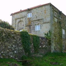
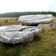
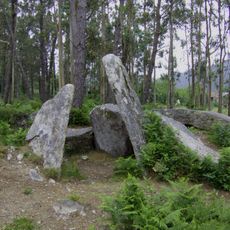
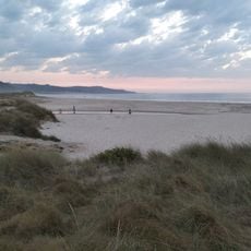
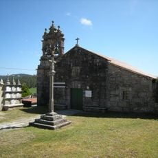
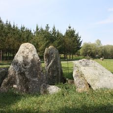
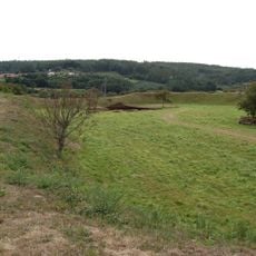
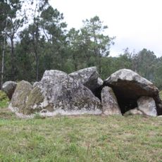
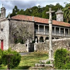
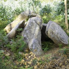
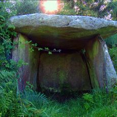
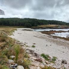
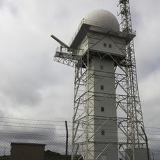
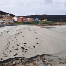
Vimianzo, municipality of Spain
Location: A Coruña Province
Elevation above the sea: 450 m
Part of: Terra de Soneira
Shares border with: Camariñas, Muxía, Dumbría, Mazaricos, Zas, Laxe
Website: https://vimianzo.gal
GPS coordinates: 43.11000,-9.03444
Latest update: March 3, 2025 06:59
Dombate dolmen
10.4 km
Castle of Vimianzo
275 m
Church of San Xulián de Moraime
13.7 km
Fervenza reservoir
13.7 km
Torres do Allo
9.5 km
Dolmen Arca da Piosa
7.6 km
Dolmen de Pedra Cuberta
4.7 km
Traba Beach
9.4 km
Pedra da Arca
11.4 km
Pazo de Soesto
9.5 km
Torres de Cereixo
7.9 km
Fornela dos Mouros
6.8 km
Church of San Martiño de Ozón
11 km
Dolmen de Pedra Moura
6.6 km
Castro das Barreiras
1.4 km
Dolmen de Pedra Moura de Monte Carneo
5.6 km
Pazo de Trasariz
309 m
Dolmen de Pedra da Lebre
6.1 km
Iglesia de San Antonio de Baíñas
9.2 km
Casota de Freáns
8.1 km
CEIP Santa Eulalia de Dumbría
13.1 km
Iglesia de Santiago de Traba
7.9 km
Biblioteca Pública Municipal de Camariñas
12.1 km
ZEC Costa da Morte
10.9 km
Biblioteca Pública Municipal de Vimianzo
192 m
Lago Norte
13.5 km
Chan das Lagoas maritime control station
10.2 km
Arou
10.2 kmReviews
Visited this place? Tap the stars to rate it and share your experience / photos with the community! Try now! You can cancel it anytime.
Discover hidden gems everywhere you go!
From secret cafés to breathtaking viewpoints, skip the crowded tourist spots and find places that match your style. Our app makes it easy with voice search, smart filtering, route optimization, and insider tips from travelers worldwide. Download now for the complete mobile experience.
A unique approach to discovering new places❞
— Le Figaro
All the places worth exploring❞
— France Info
A tailor-made excursion in just a few clicks❞
— 20 Minutes