
Anglesola, municipality in Urgell, Ponent, Lleida Province, Spain
Location: Urgell
Capital city: Anglesola
Elevation above the sea: 335 m
Shares border with: Tornabous, Barbens, Tàrrega, Vilagrassa, Bellpuig
Website: http://anglesola.cat
GPS coordinates: 41.65898,1.08137
Latest update: March 24, 2025 04:23
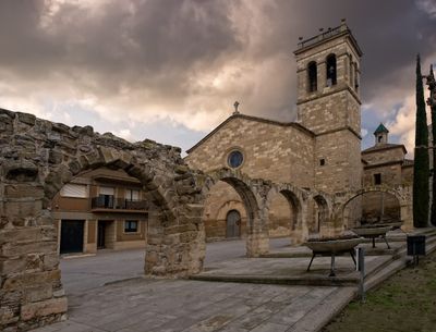
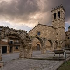
Sant Pau de Narbona d'Anglesola
41 m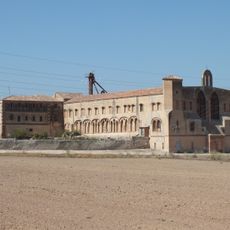
Monestir de Mas Colom
3.8 km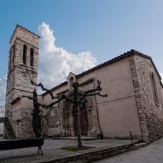
Santa Maria de Vilagrassa
2.3 km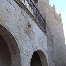
Comanda de Barbens
5.7 km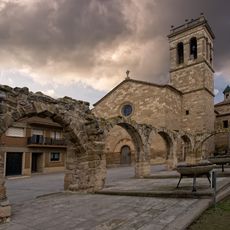
Castell d'Anglesola
23 m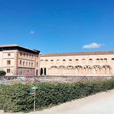
Mas de Colom
3.8 km
Santa Maria de Tornabous
5.3 km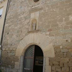
Santa Maria
5.7 km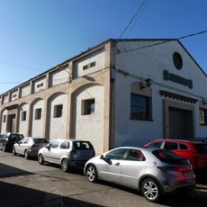
Museu del Carro
288 m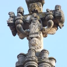
Creu de terme de Bullidor
5.7 km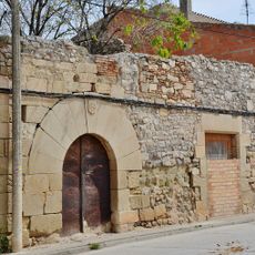
Convent dels Trinitaris
496 m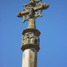
Creu de terme de la plaça de Santa Anna
220 m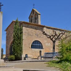
Mare de Déu del Roser de Vilagrassa
2.1 km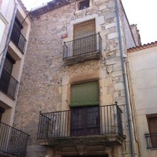
Cal Veciana
5.7 km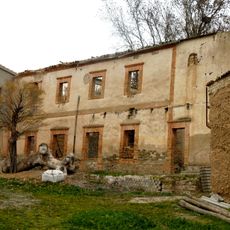
Molí d'Espígol
5.4 km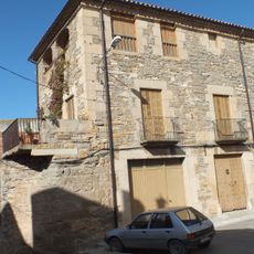
Ca l'Eloi
5.3 km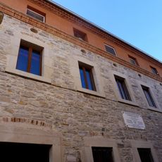
Antic hospital d'Anglesola
120 m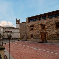
Town hall of Tornabous
5.3 km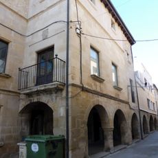
Casa del Marquès de Castellvell
165 m
Ca l'Erill
138 m
Creu de terme de les Forques
48 m
Carrer Major
486 m
Cal Giró
2.3 km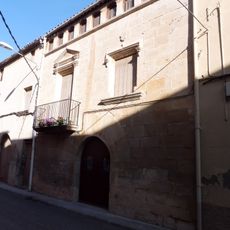
Cal Botes
2.3 km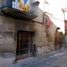
Cal Real
125 m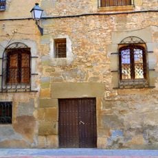
Nucli antic de Barbens
5.7 km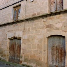
Ca l'Alzamora
62 m
Molí del Verni
3.3 kmReviews
Visited this place? Tap the stars to rate it and share your experience / photos with the community! Try now! You can cancel it anytime.
Discover hidden gems everywhere you go!
From secret cafés to breathtaking viewpoints, skip the crowded tourist spots and find places that match your style. Our app makes it easy with voice search, smart filtering, route optimization, and insider tips from travelers worldwide. Download now for the complete mobile experience.

A unique approach to discovering new places❞
— Le Figaro
All the places worth exploring❞
— France Info
A tailor-made excursion in just a few clicks❞
— 20 Minutes