
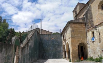
Mijancas, council of the municipality of Berantevilla
Location: Basque Autonomous Community
Location: Álava
Location: Berantevilla
GPS coordinates: 42.69560,-2.81700
Latest update: May 26, 2025 00:39
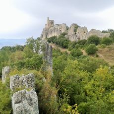
Castillo de Portilla
3.1 km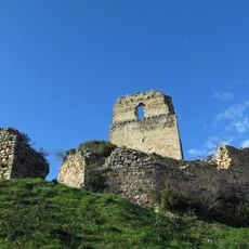
Castillo de Ocio
4.6 km
Ermita de San Formerio (Pangua)
3.6 km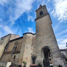
Iglesia de Nuestra Señora de la Asunción
3.7 km
Iglesia de Nuestra Señora de la Asunción
22 m
Iglesia de San Jorge
2.3 km
Iglesia de San Clemente
2.8 km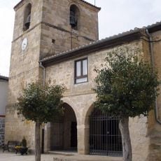
Church of Santa Lucia
6.3 km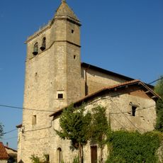
Iglesia de San Andrés
5.6 km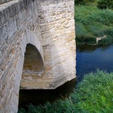
Puenteviejo Zubia/Puenteviejo
5.5 km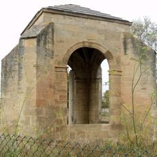
Humilladero De Zambrana
6.5 km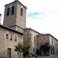
Iglesia de San Andrés
5.4 km
San Martin church
5.2 km
Iglesia de la Asunción de Nuestra Señora
3.8 km
Casa consistorial de Zambrana
6.3 km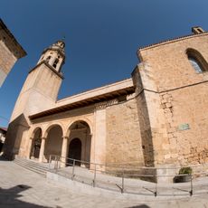
Iglesia de la Inmaculada Concepción
6.9 km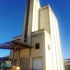
Silo de Treviño
6.7 km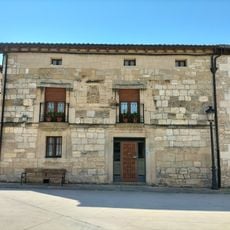
Casa Solana 18 (Actual Casa Solana 1)
6.3 km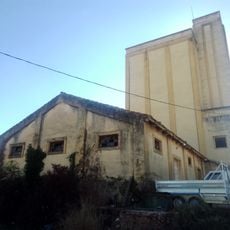
Granero de Treviño
6.7 km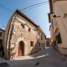
Casa Hospital 11
6.9 km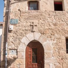
Casa - Hospital de Santa Ana
6.9 km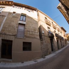
Casa Mayor 18
6.9 km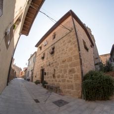
Casa Hospital S/N
6.9 km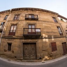
Casa Mayor 15
6.9 km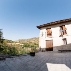
Casas Sobre La Muralla Oeste En Calle Laurel
6.9 km
Casa Plaza De La Iglesia S/N
6.9 km
Arminón
5.5 km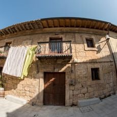
Casa El Laurel 6
6.9 kmReviews
Visited this place? Tap the stars to rate it and share your experience / photos with the community! Try now! You can cancel it anytime.
Discover hidden gems everywhere you go!
From secret cafés to breathtaking viewpoints, skip the crowded tourist spots and find places that match your style. Our app makes it easy with voice search, smart filtering, route optimization, and insider tips from travelers worldwide. Download now for the complete mobile experience.

A unique approach to discovering new places❞
— Le Figaro
All the places worth exploring❞
— France Info
A tailor-made excursion in just a few clicks❞
— 20 Minutes