
Concabella, human settlement in Els Plans de Sió, Segarra, Ponent, Spain
Location: Els Plans de Sió
Elevation above the sea: 413 m
GPS coordinates: 41.75178,1.23450
Latest update: March 3, 2025 16:27
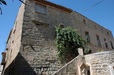
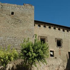
Castell de Concabella
35 m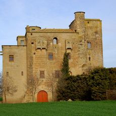
Castell-molí de Ratera
855 m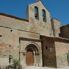
Sant Salvador de Concabella
87 m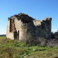
Santa Maria de Tauladells
1.3 km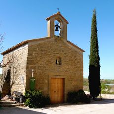
Sant Llorenç de Ratera
954 m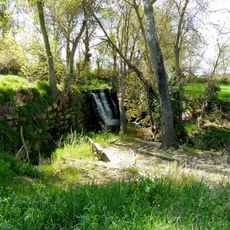
Font de la Puda
1.3 km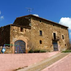
Mas de Golonor
1.7 km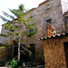
Castle of Hostafrancs
1.8 km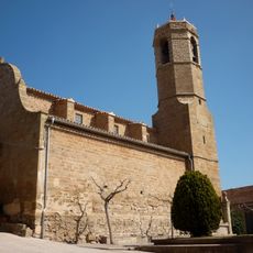
Sant Bartomeu d'Hostafrancs
1.8 km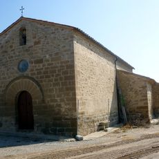
Mare de Déu del Bellvilar
2 km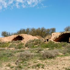
Ancient Livestock Pens (Concabella)
1.2 km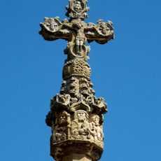
Creu de terme d'Hostafrancs
1.9 km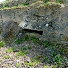
Niu de metralladores de Concabella
1.2 km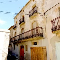
Cal Recasens
65 m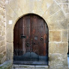
Cal Tarragó
1.9 km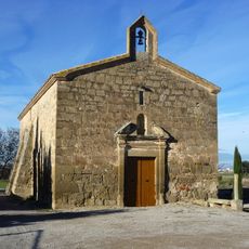
Sant Vicenç de Concabella
585 m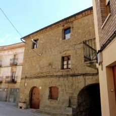
Can Joan (Concabella)
81 m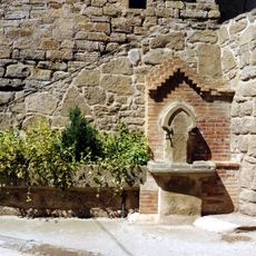
Fountain (Concabella)
72 m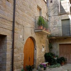
Cal Bernat
1.8 km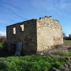
Molí de la Casa Nova
1.5 km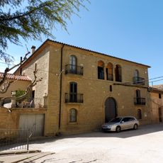
Cal Gavernet
83 m
Casa l'Esquilador
1.8 km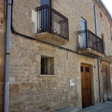
Casa Gregori
1.9 km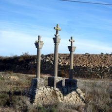
Stations of the Cross (Concabella)
464 m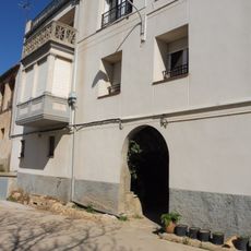
Portals de Ratera
970 m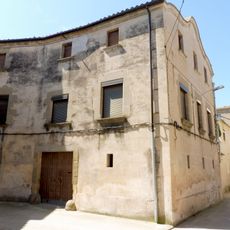
Cal Regué
93 m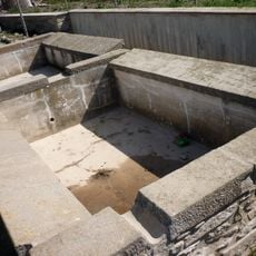
Laundries (Hostafrancs)
1.9 km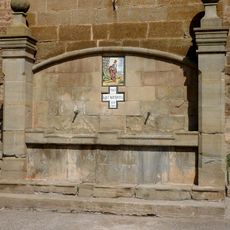
Font d'Hostafrancs
1.8 kmReviews
Visited this place? Tap the stars to rate it and share your experience / photos with the community! Try now! You can cancel it anytime.
Discover hidden gems everywhere you go!
From secret cafés to breathtaking viewpoints, skip the crowded tourist spots and find places that match your style. Our app makes it easy with voice search, smart filtering, route optimization, and insider tips from travelers worldwide. Download now for the complete mobile experience.

A unique approach to discovering new places❞
— Le Figaro
All the places worth exploring❞
— France Info
A tailor-made excursion in just a few clicks❞
— 20 Minutes