
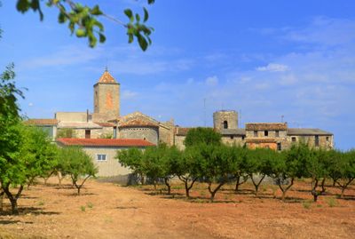
L'Ametlla de Segarra, human settlement in Montoliu de Segarra, Segarra, Ponent, Spain
Location: Montoliu de Segarra
Elevation above the sea: 700 m
GPS coordinates: 41.57552,1.24017
Latest update: March 3, 2025 23:26
Balneari de Vallfogona de Riucorb
2 km
Castell de Vallfogona
1.4 km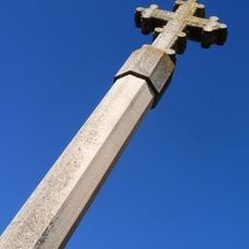
Creu de terme de l'Ametlla de Segarra
39 m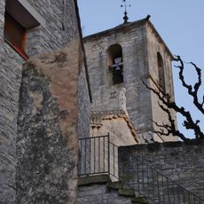
Santa Maria de Vallfogona de Riucorb
1.4 km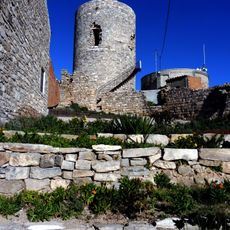
Castell de l'Ametlla de Segarra
50 m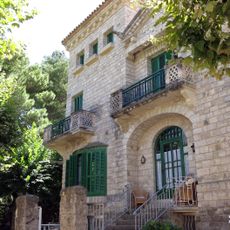
Xalet Sant Jordi
1.9 km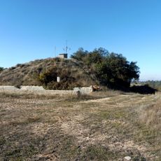
Castell d'Albió
2.8 km
Cal Perelló
20 m
Casa del Canonge Corbella
1.4 km
Sant Pere de l'Ametlla
95 m
Molí de vapor de la Cadena
2.4 km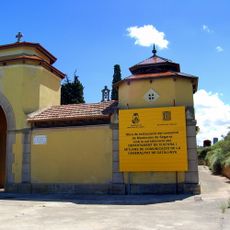
Cementiri Municipal
2.8 km
Cal Pubill d'en Ton
38 m
Cal Mullerac
52 m
Cal Sastre
1.4 km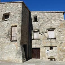
Cal Tiana
1.3 km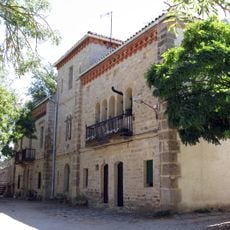
Torre de Santa Bàrbara
2.3 km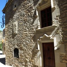
Cal Sastre Vell
1.4 km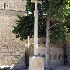
Creu de terme de Vallfogona de Riucorb
1.4 km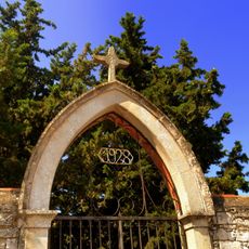
Cementiri de l'Ametlla de Segarra
691 m
Casa de la Vila de Vallfogona de Riucorb
1.5 km
Cal Ramon del Bep
35 m
Molí del Camell de Dalt
2.4 km
Pont de la Cadena
2.5 km
Pont del Balneari
2 km
Molí de la Cadena de Baix
2.4 km
Molí del Ferrer
1.4 km
Molí de la Cadena
2.4 kmReviews
Visited this place? Tap the stars to rate it and share your experience / photos with the community! Try now! You can cancel it anytime.
Discover hidden gems everywhere you go!
From secret cafés to breathtaking viewpoints, skip the crowded tourist spots and find places that match your style. Our app makes it easy with voice search, smart filtering, route optimization, and insider tips from travelers worldwide. Download now for the complete mobile experience.

A unique approach to discovering new places❞
— Le Figaro
All the places worth exploring❞
— France Info
A tailor-made excursion in just a few clicks❞
— 20 Minutes