
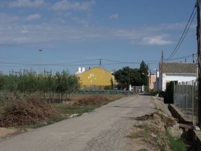
Faitanar, neighbourhood in Valencia, Spain
Location: Pobles del Sud
Elevation above the sea: 17 m
Shares border with: Camí Real, La Torre, Vara de Quart, Sant Isidre
GPS coordinates: 39.44111,-0.41111
Latest update: April 12, 2025 05:23
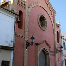
Church of Our Lady of the Forsaken and Saint Isidore
1.4 km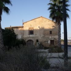
Alqueria de Pastor
1.6 km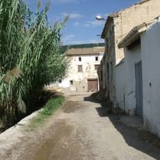
Alqueria Aiguamolls i Casa Maso
522 m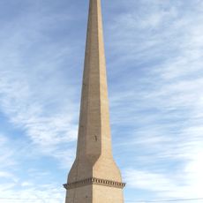
Chimney of Agustín Hurtado Brickyars
694 m
Church of Saint George
1.3 km
Plaza Mayor
1.3 km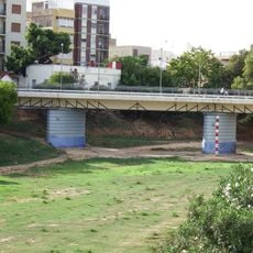
Pont Vell, Paiporta
1.5 km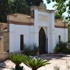
British Protestant Cemetery of Valencia
1.5 km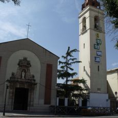
Església de Sant Marcel·lí Bisbe
1.7 km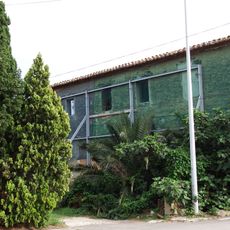
Molí de Gàvia
1.1 km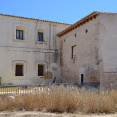
Molí del Tell
1.6 km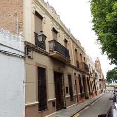
Núcleo Histórico Tradicional de Sant Isidre
1.4 km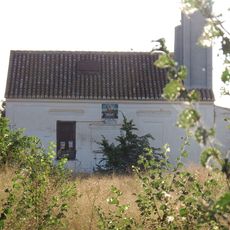
Motor de San Cristóbal
1.3 km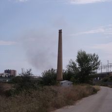
Chimney at Camí Alqueria de Rocatí
502 m
Alqueria del Saboner
1.6 km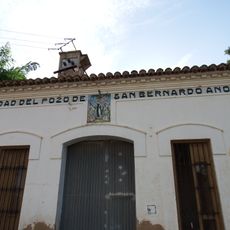
Pou de Sant Bernat
1.1 km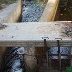
Llengües de Paiporta (Faitanar)
1.1 km
Camí Vell de Torrent, València
797 m
Camí Vell de Picassent, València
883 m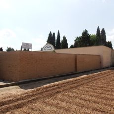
Cemetery of Our Lady of Good Health
1.5 km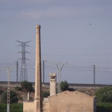
Motor de Ferrer and chimney
1.4 km
Motor de Sant Francesc
1.5 km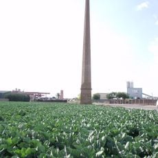
Chimney in Avinguda Tres Creus
693 m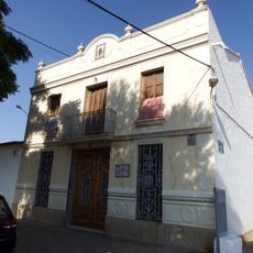
Alqueria de Xirivella and ceràmic panel
618 m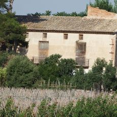
Alqueria del Rocatí
693 m
Alqueria d'Alba
914 m
Alqueria de Ferrer
1.2 km
Alqueria de Baix and ceràmic panel
1 kmReviews
Visited this place? Tap the stars to rate it and share your experience / photos with the community! Try now! You can cancel it anytime.
Discover hidden gems everywhere you go!
From secret cafés to breathtaking viewpoints, skip the crowded tourist spots and find places that match your style. Our app makes it easy with voice search, smart filtering, route optimization, and insider tips from travelers worldwide. Download now for the complete mobile experience.

A unique approach to discovering new places❞
— Le Figaro
All the places worth exploring❞
— France Info
A tailor-made excursion in just a few clicks❞
— 20 Minutes