
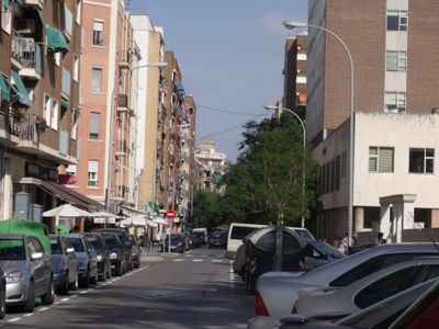
Favara, neighbourhood in Valencia, Spain
Location: Patraix
Shares border with: Safranar, L'Hort de Senabre, Camí Real
GPS coordinates: 39.45480,-0.39338
Latest update: April 2, 2025 21:49
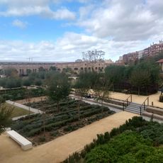
Parc Central
1.2 km
Ramón de Castro housing project
1.1 km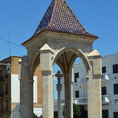
Creu Coberta del carrer Sant Vicent Màrtir
1 km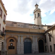
Convent de Jesús
648 m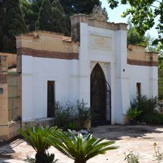
British Protestant Cemetery of Valencia
790 m
Church of the Sacred Heart
887 m
Convent de Jesús
707 m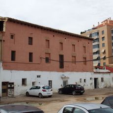
Alqueria dels Frares
760 m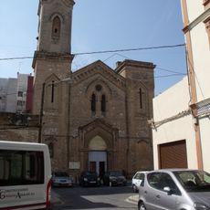
Església del Crist de la Providència
877 m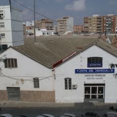
Former Vicente Benlloch forniture factory
628 m
Patraix Historical Area
909 m
Antiga Estació de FEVE de Jesús
897 m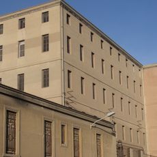
Harinas Belenguer Factory
866 m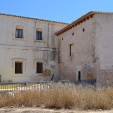
Molí del Tell
833 m
Barraques de Burguet
664 m
Air Raid Shelter at Artillery Park, Valencia
768 m
Biblioteca de la Delegació Provincial de l'Institut Nacional de Estadística en València
967 m
Soriano factory building
437 m
Biblioteca de la Escuela Valenciana de Estudios de la Salud
82 m
La Batifora factory
580 m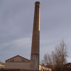
Chimeney at 23 Mossén Febrer street
660 m
Fountain of Mercat de Jesús, Valencia
702 m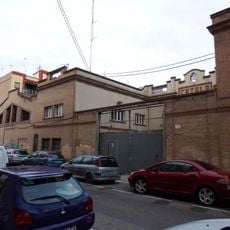
Jabones Catalá factory
701 m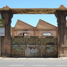
Talleres Devís-Noguera-Macosa factory
843 m
Chimneys at Fra Mateu street
811 m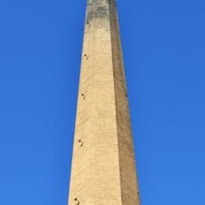
Chimney of Franco Tormo Sawmill
479 m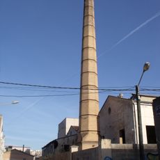
Chimney of Cervezas Turia, Valencia
1 km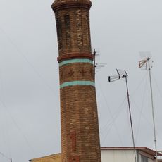
Chimeney at 1 Sant Ernest street
662 mVisited this place? Tap the stars to rate it and share your experience / photos with the community! Try now! You can cancel it anytime.
Discover hidden gems everywhere you go!
From secret cafés to breathtaking viewpoints, skip the crowded tourist spots and find places that match your style. Our app makes it easy with voice search, smart filtering, route optimization, and insider tips from travelers worldwide. Download now for the complete mobile experience.

A unique approach to discovering new places❞
— Le Figaro
All the places worth exploring❞
— France Info
A tailor-made excursion in just a few clicks❞
— 20 Minutes