
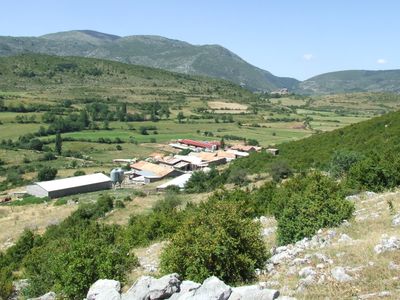
Corroncui, Populated place in el Pont de Suert (Alta Ribagorça)
Location: El Pont de Suert
Elevation above the sea: 1,167.7 m
GPS coordinates: 42.33492,0.85162
Latest update: March 3, 2025 20:39
Castell de Viu de Llevata
4.8 km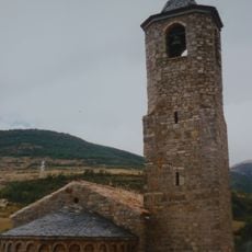
Santa Maria de Viu de Llevata
5 km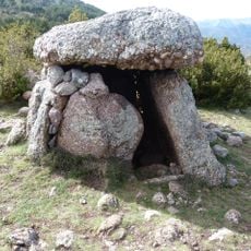
La Casa Encantada
3.3 km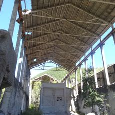
Cimentera i Colònia del Xerallo
4.1 km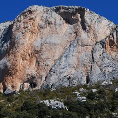
Pala del Teller
4 km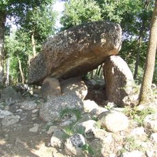
Dolmen del Mas
5.2 km
Bordes de la Bastida
5.3 km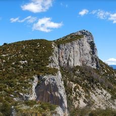
L'Avedoga d'Adons
2.6 km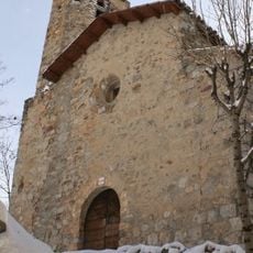
Church of Saint Fructuosus of Perves
3 km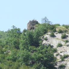
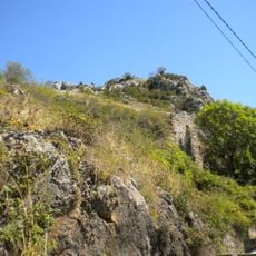
Castellgermà
4.6 km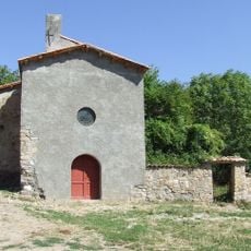
Sant Gil de Pinyana
2.8 km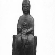
Sant Feliu de Sarroca de Bellera
3.7 km
Miravet
4.9 km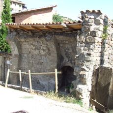
Sant Miquel de Naens
5.3 km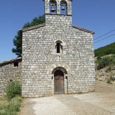
Santa Maria de Corroncui I
562 m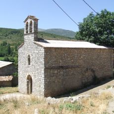
Santa Maria de Corroncui II
149 m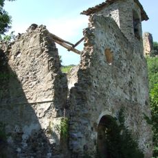
La Presentació de Cadolla
3.6 km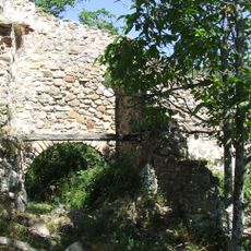
Sant Pelegrí de Pinyana
2.9 km
Pui de les Canals
3.4 km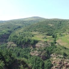
Tossal Gros
5 km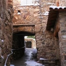
Voltes i passadissos de Perves
3 km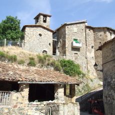
Sant Esteve de Naens
5.3 km
Les Tres Peires
5.7 km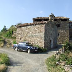
Santa Coloma de Burguet
5.9 km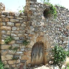
Sant Esteve
4 km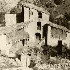
Ca de Joanet
3.8 km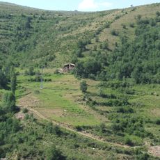
Borda de Mateu
4 km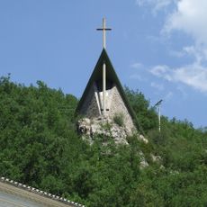
L'Ascensió
3.9 kmReviews
Visited this place? Tap the stars to rate it and share your experience / photos with the community! Try now! You can cancel it anytime.
Discover hidden gems everywhere you go!
From secret cafés to breathtaking viewpoints, skip the crowded tourist spots and find places that match your style. Our app makes it easy with voice search, smart filtering, route optimization, and insider tips from travelers worldwide. Download now for the complete mobile experience.

A unique approach to discovering new places❞
— Le Figaro
All the places worth exploring❞
— France Info
A tailor-made excursion in just a few clicks❞
— 20 Minutes