
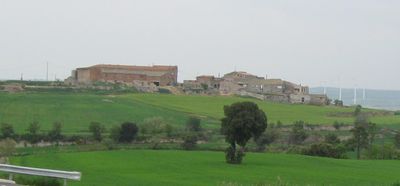
Amorós, human settlement in Sant Guim de Freixenet, Segarra, Ponent, Spain
Location: Sant Guim de Freixenet
Elevation above the sea: 755 m
GPS coordinates: 41.65330,1.42639
Latest update: March 5, 2025 03:30
Sindicat Agrícola de Sant Guim de Freixenet
846 m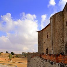
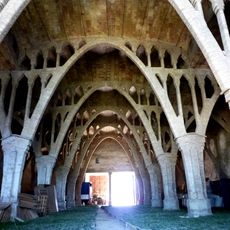
Castell de la Tallada
1.6 km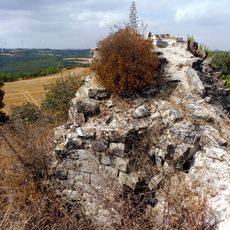
Castell de Montfalcó Gros
2.4 km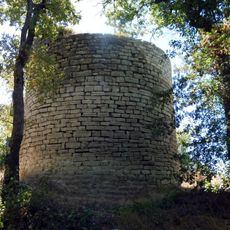
Castell de Vilalta
1.7 km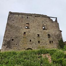
Castell de Sant Guim de la Rabassa
1.8 km
Església del Sagrat Cor de Sant Guim de Freixenet
712 m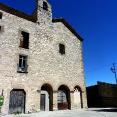
Convent de Sant Andreu
1.8 km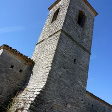
Sant Pere de Sant Domí
1.7 km
Cal Xel (Sant Guim de Freixenet)
567 m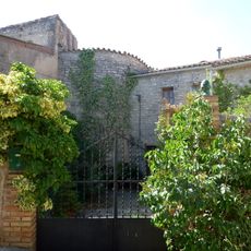
Castell de Sant Domí
1.8 km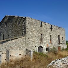
Balsareny de Segarra
2.3 km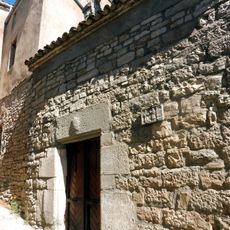
Sant Cosme i Sant Damià d'Amorós
66 m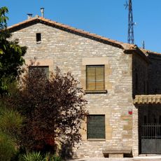
Cal Benviure
1.7 km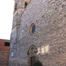
Sant Martí de la Tallada
1.6 km
Can Casanova
2.4 km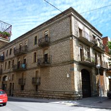
Cal Torreta de Sant Guim de Freixenet
696 m
Pou de gel de Sant Domí
1.9 km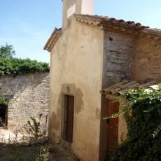
Santa Llúcia de la Rubiola
766 m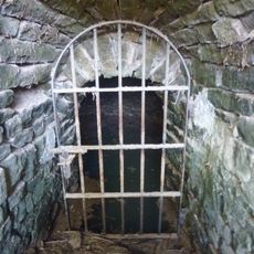
Font del Pastor
1.7 km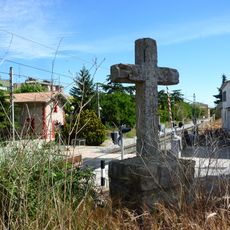
Creu Monumental de Sant Guim de Freixenet
673 m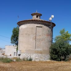
Dipòsit distribuïdor d'aigües de la Tallada
1.3 km
Cal Calafell
681 m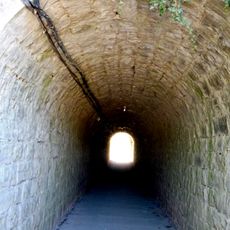
Tunnel under train at Sant Guim de la Rabassa
1.8 km
Mare de Déu de Montserrat de Ben Viure
1.6 km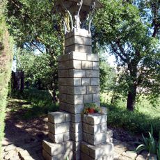
Monument a la Mare de Déu del Camí
590 m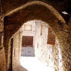
Pas cobert de la Tallada
1.6 km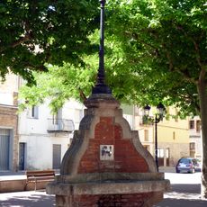
Font de la plaça del Doctor Perelló
701 m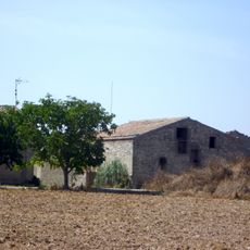
Mas Vilà
2.3 kmVisited this place? Tap the stars to rate it and share your experience / photos with the community! Try now! You can cancel it anytime.
Discover hidden gems everywhere you go!
From secret cafés to breathtaking viewpoints, skip the crowded tourist spots and find places that match your style. Our app makes it easy with voice search, smart filtering, route optimization, and insider tips from travelers worldwide. Download now for the complete mobile experience.

A unique approach to discovering new places❞
— Le Figaro
All the places worth exploring❞
— France Info
A tailor-made excursion in just a few clicks❞
— 20 Minutes