
Cap del Tossal, mountain in Spain
Location: Guardiola de Berguedà
Elevation above the sea: 1,354.3 m
GPS coordinates: 42.23095,1.85674
Latest update: August 25, 2025 08:12
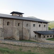
Sant Llorenç prop Bagà
1.6 km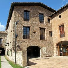
Palau dels Barons de Pinós
2.5 km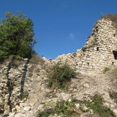
Castell de Guardiola
2 km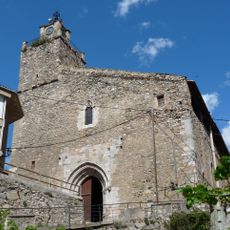
Sant Esteve de Bagà
2.4 km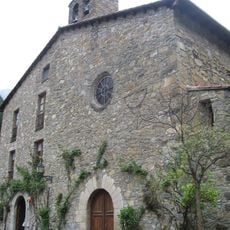
Santuari de la Mare de Déu de Paller
4.3 km
Plaça Porxada de Bagà
2.4 km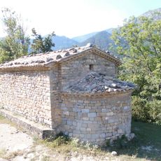
Sant Joan de l'Avellanet
3.8 km
Sant Martí de Brocà
3.7 km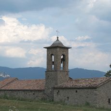
Sant Julià de Fréixens
2.8 km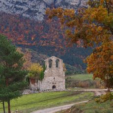
Sant Climent de la Torre de Foix
2.4 km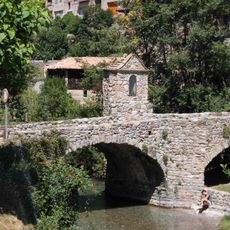
Pont de la Vila
2.3 km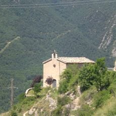
Santa Maria de les Esposes
2.4 km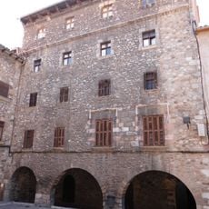
Casa Solanell
2.4 km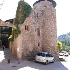
Muralles de Bagà
2.5 km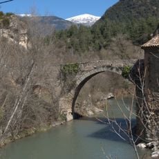
Pont Vell de Guardiola
2 km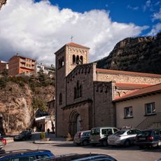
Sant Llorenç de Guardiola de Berguedà
1.9 km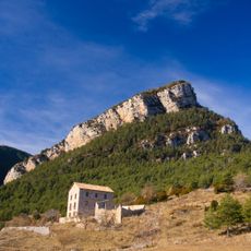
Masia Quer
2 km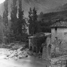
Molí del Pont Vell
2.1 km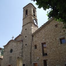
Església de Sant Julià de Cerdanyola
3.1 km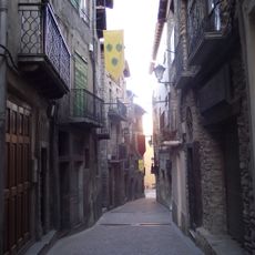
Carrer Major de Bagà
2.4 km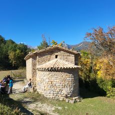
Terreny d'acampada Sant Joan de l'Avellanet
3.7 km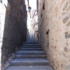
Carrer del Palau
2.5 km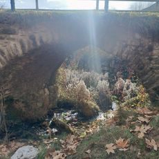
Pont del Roser
2.3 km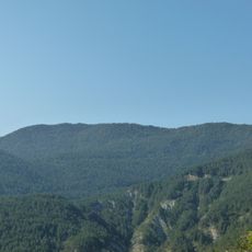
Serrat dels Moixons
1.2 km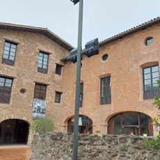
Palau de Pinós
2.5 km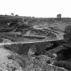
Pont de Riugrèixer
3 km
Cal Xeixa
1.8 km
Els Fangassos
1.5 kmReviews
Visited this place? Tap the stars to rate it and share your experience / photos with the community! Try now! You can cancel it anytime.
Discover hidden gems everywhere you go!
From secret cafés to breathtaking viewpoints, skip the crowded tourist spots and find places that match your style. Our app makes it easy with voice search, smart filtering, route optimization, and insider tips from travelers worldwide. Download now for the complete mobile experience.

A unique approach to discovering new places❞
— Le Figaro
All the places worth exploring❞
— France Info
A tailor-made excursion in just a few clicks❞
— 20 Minutes