
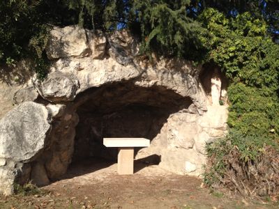
Capella de la Mare de Déu de Lorda de l'Ametlla, church building in L'Ametlla del Vallès, Spain
Location: L'Ametlla del Vallès
Elevation above the sea: 325.5 m
GPS coordinates: 41.67429,2.25989
Latest update: March 23, 2025 11:22
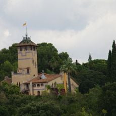
Can Millet (l'Ametlla del Vallès)
107 m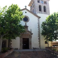
Sant Genís de l'Ametlla
64 m
Can Xammar de Baix
15 m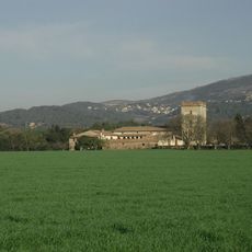
Can Draper
1.4 km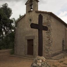
Sant Nicolau de Puig Castellar
379 m
Can Feliu
1.5 km
Can Viver
139 m
Ca n'Antoja
886 m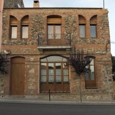
Cal Barber
377 m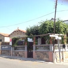
Carrer Torregassa
763 m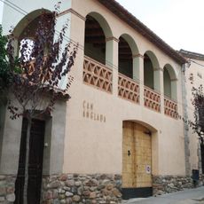
Ca n'Anglada
175 m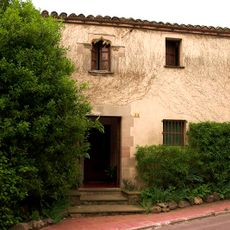
Ca l'Arenys
797 m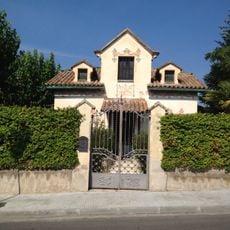
Villa Rosita
489 m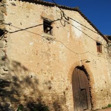
Can Busquets
780 m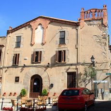
Can Bachs
116 m
Can Coromines
280 m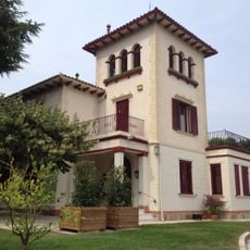
Can Fanés (l'Ametlla del Vallès)
691 m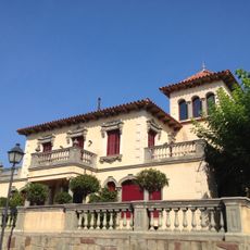
Can Garriga
766 m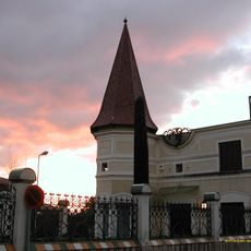
Vil·la Lola
617 m
Santa Maria de la Creu
1.4 km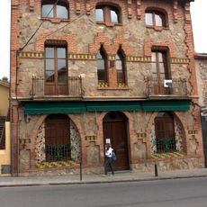
El Cafè (l'Ametlla del Vallès)
509 m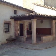
Casa Rectoral
26 m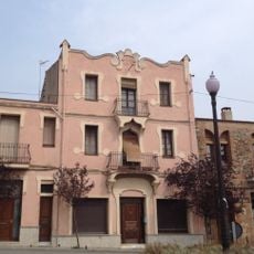
Casa J. Blancher
360 m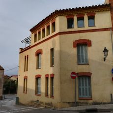
Can Torns
110 m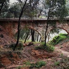
Aqüeducte de la Font de Ca l'Arenys
777 m
Can Muntaner
453 m
Can València
1.5 km
Casa unifamiliar al carrer Sant Sebastià, 26
432 mVisited this place? Tap the stars to rate it and share your experience / photos with the community! Try now! You can cancel it anytime.
Discover hidden gems everywhere you go!
From secret cafés to breathtaking viewpoints, skip the crowded tourist spots and find places that match your style. Our app makes it easy with voice search, smart filtering, route optimization, and insider tips from travelers worldwide. Download now for the complete mobile experience.

A unique approach to discovering new places❞
— Le Figaro
All the places worth exploring❞
— France Info
A tailor-made excursion in just a few clicks❞
— 20 Minutes