
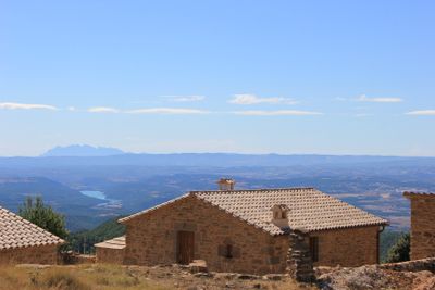
La Serra, masia in Lladurs (Solsonès, Catalonia)
Location: Lladurs
Elevation above the sea: 1,154 m
GPS coordinates: 42.07714,1.54166
Latest update: March 3, 2025 03:52
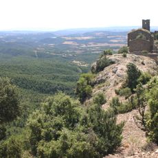
Castell de Lladurs
3.4 km
Sant Joan de Castellonet
2.2 km
Turó de les Armes
4 km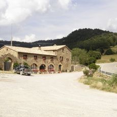
Hostal del Cap del Pla
2.5 km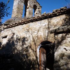
Sant Agustí d'Isanta
3 km
Sant Jaume de Peà
3.5 km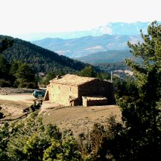
Hostal del Vent (Lladurs)
3.1 km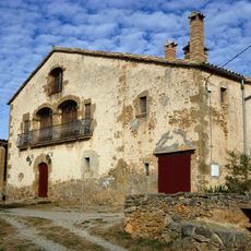
Riard
2.9 km
Pont del Llop (Navès)
2.5 km
Vilanova d'Isanta
1.5 km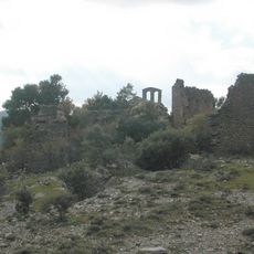
Castell d'Isanta
2.9 km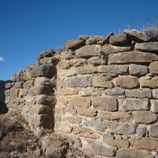
Sant Jaume de Torrenteller
1.3 km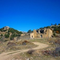
Capdevila (Lladurs)
3.5 km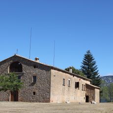
La Salada
2.6 km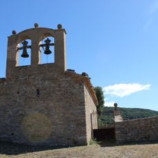
Sant Miquel de Vilanova dels Torrents
1.5 km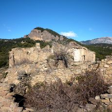
Torrenteller (Lladurs)
1.3 km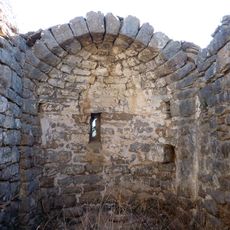
Sant Pere de Capdevila
3.5 km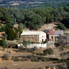
Cavallol (Lladurs)
3 km
El Borrut
3.6 km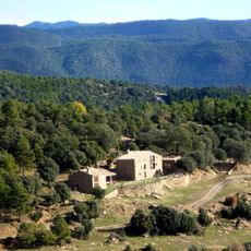
Caseta de Dalt
3 km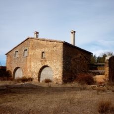
Ferriol (Lladurs)
3.7 km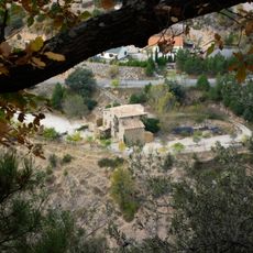
El Cavall (Navès)
3.1 km
Pla de Riard
2.8 km
Sòria (Navès)
3.4 km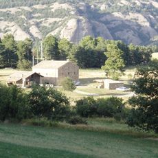
La Casanova
3.1 km
Sant Vicenç de Riart
2.9 km
La Creu
2.8 km
La Pinassa
3.9 kmReviews
Visited this place? Tap the stars to rate it and share your experience / photos with the community! Try now! You can cancel it anytime.
Discover hidden gems everywhere you go!
From secret cafés to breathtaking viewpoints, skip the crowded tourist spots and find places that match your style. Our app makes it easy with voice search, smart filtering, route optimization, and insider tips from travelers worldwide. Download now for the complete mobile experience.

A unique approach to discovering new places❞
— Le Figaro
All the places worth exploring❞
— France Info
A tailor-made excursion in just a few clicks❞
— 20 Minutes