
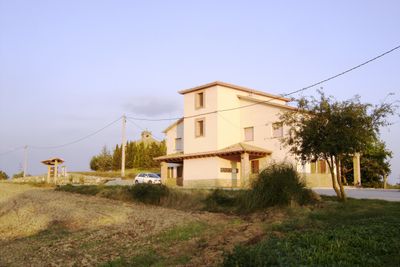
Lladurs, localidad de Lladurs, Lérida, España
Location: Lladurs
Elevation above the sea: 827 m
GPS coordinates: 41.82730,1.54190
Latest update: March 10, 2025 07:23
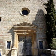
Santa Maria de Pinós
1.2 km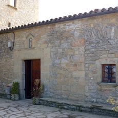
Hostal de Pinós
1.2 km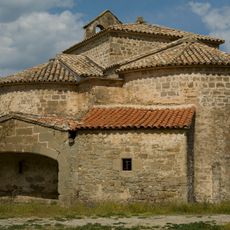
Sant Celdoni i Sant Ermenter de Cellers
4.7 km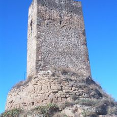
Castell d'Ardèvol
3.3 km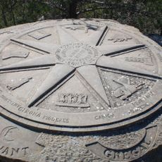
Rosa dels Vents (Centre geogràfic de Catalunya)
1.2 km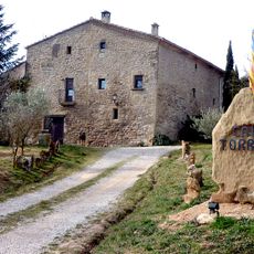
La Torre (Pinós)
2.9 km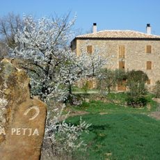
La Petja
4.3 km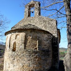
Sant Miquel de Vallmanya
4.1 km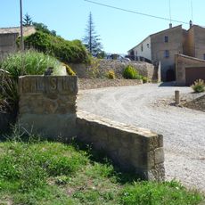
Cal Sala de Vallmanya
2.6 km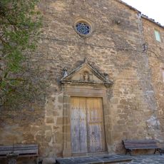
Santa Maria d'Ardèvol
3.3 km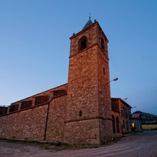
Santa Maria de la Molsosa
4.6 km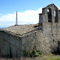
Sant Vicenç de Pinós
11 m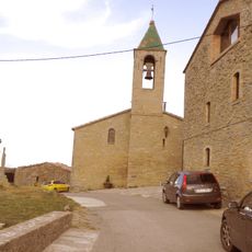
Sant Ponç de Prades
4.5 km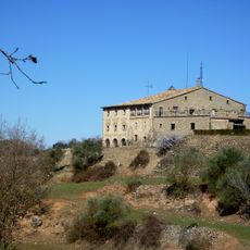
L'Oliva d'Ardèvol
4.3 km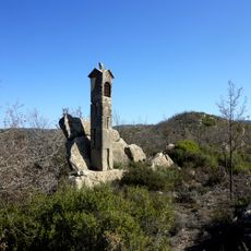
Pilaret de Cal Tanyot
4.2 km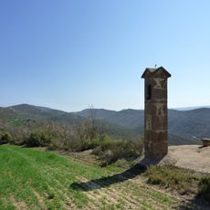
Pilaret de la Petja
4.2 km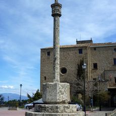
Creu de terme de Pinós
1.2 km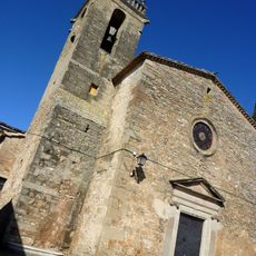
Sant Pere de Vallmanya
3.8 km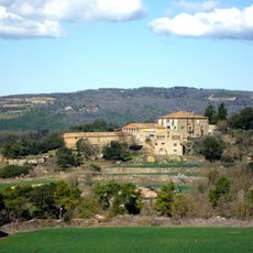
Soldevila (Torà)
4.7 km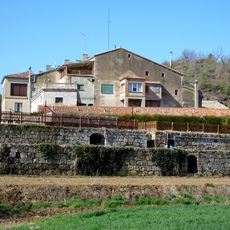
Cal Prat de Vallmanya
4.1 km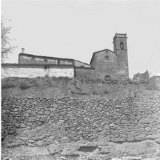
Santgrà
4.1 km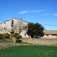
Moragues
4 km
Pinós
1.3 km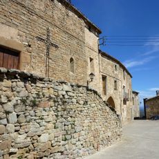
Carrer i plaça de l'Església de Pinós
12 m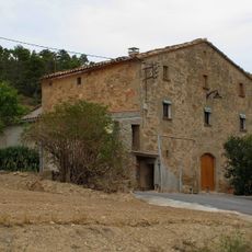
Vilansosa (La Molsosa)
4.7 km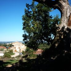
El Peroi
2.8 km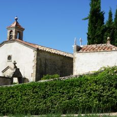
Mare de Déu de l'Avellana
2.6 km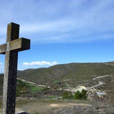
Creu de les Missions
72 mReviews
Visited this place? Tap the stars to rate it and share your experience / photos with the community! Try now! You can cancel it anytime.
Discover hidden gems everywhere you go!
From secret cafés to breathtaking viewpoints, skip the crowded tourist spots and find places that match your style. Our app makes it easy with voice search, smart filtering, route optimization, and insider tips from travelers worldwide. Download now for the complete mobile experience.

A unique approach to discovering new places❞
— Le Figaro
All the places worth exploring❞
— France Info
A tailor-made excursion in just a few clicks❞
— 20 Minutes