
Pià, human settlement in Spain
Location: Navès
Elevation above the sea: 958 m
GPS coordinates: 42.06715,1.58207
Latest update: March 4, 2025 14:19

Llosa del Cavall
3.6 km
Guilanyà
2.6 km
Sant Joan de Castellonet
1.6 km
Ventolra
3.7 km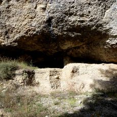
Jaciment arqueològic de la Balma de Guilanyà
2.6 km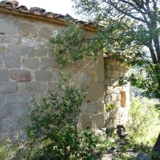
Sant Jaume de Peà
25 m
Pont del Llop (Navès)
1.1 km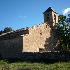
Sant Miquel de Marcinyac
3.1 km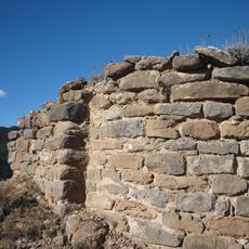
Sant Jaume de Torrenteller
3.3 km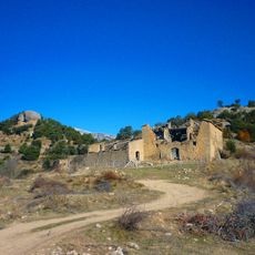
Capdevila (Lladurs)
3.6 km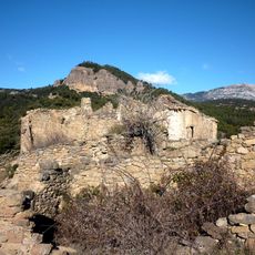
Torrenteller (Lladurs)
3 km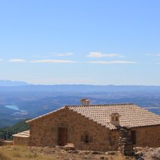
La Serra (Lladurs)
3.5 km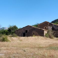
Les Veces
2.3 km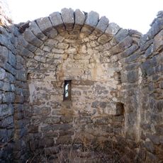
Sant Pere de Capdevila
3.5 km
Ginebres
2.8 km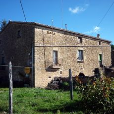
Marcinyac
3.1 km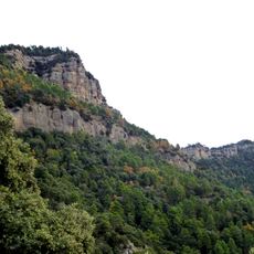
Cinglera de Sòria
1.8 km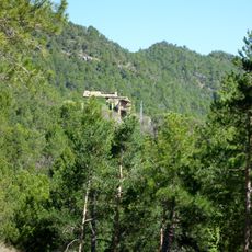
Parcerissa
1.4 km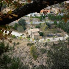
El Cavall (Navès)
2.4 km
Sòria (Navès)
1.5 km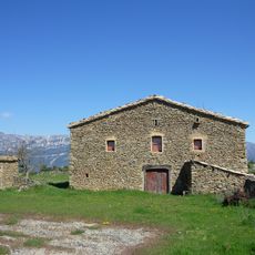
La serra de Guilanyà
3.2 km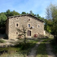
Hostal de Guilanyà
2.4 km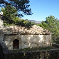
Parc Aigua d'Ora
3.1 km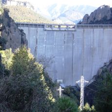
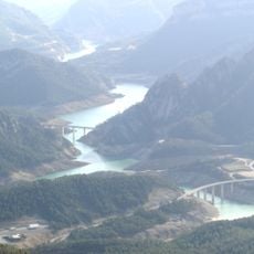
Presa de la Llosa del Cavall
3.6 km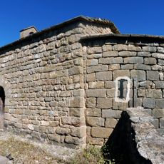
Sant Pere Màrtir
3.8 km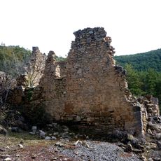
Revell
3 km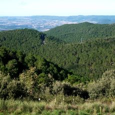
La Creu Roja
2.6 km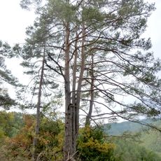
La Pinassa
2.3 kmVisited this place? Tap the stars to rate it and share your experience / photos with the community! Try now! You can cancel it anytime.
Discover hidden gems everywhere you go!
From secret cafés to breathtaking viewpoints, skip the crowded tourist spots and find places that match your style. Our app makes it easy with voice search, smart filtering, route optimization, and insider tips from travelers worldwide. Download now for the complete mobile experience.

A unique approach to discovering new places❞
— Le Figaro
All the places worth exploring❞
— France Info
A tailor-made excursion in just a few clicks❞
— 20 Minutes