
Roca de Llagunes, mountain in Spain
Location: Soriguera
Elevation above the sea: 1,742.5 m
GPS coordinates: 42.35836,1.20747
Latest update: March 8, 2025 19:37
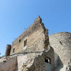
Castell de Sort
8.8 km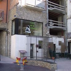
Presó-Museu Camí de la Llibertat
8.7 km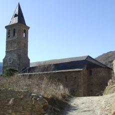
Sant Feliu de Sort
8.7 km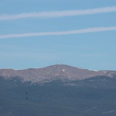
Torreta de l'Orri
5.6 km
Mare de Déu del Roser de Casa Franquet
4.5 km
Mare de Déu del Soler
7.8 km
Castell de Bielsa
7.1 km
Torre Emiliana
8.7 km
Mare de Déu de Medina
4.5 km
Antic Hostal Pessets
8.7 km
Sant Martí de Taús
7.9 km
Vila closa de Vilamur
4.5 km
Sant Martí de Llagunes
2 km
Mare de Déu de Serenyà
9 km
Sant Andreu de Malmercat
7.1 km
Santa Elena de Trejuvell
8.9 km
Sant Vicenç de Canturri
6.7 km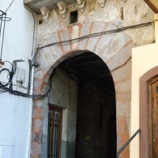
Berrós Gate
8.7 km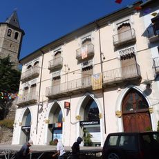
Can Misseret
8.7 km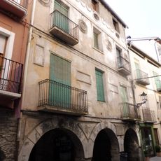
Casa del General Josep de Moragues
8.7 km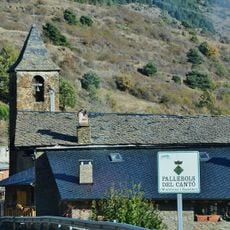
Sant Romà de Pallerols
8.6 km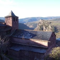
Church of Saint Fructuosus of Guils del Cantó
6.4 km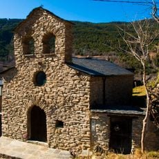
Sant Pere de Cassovall
8.5 km
Carrer Major de Vilamur
4.5 km
Cap del Roc
5.9 km
Romànic de les Valls d'Aguilar
7.7 km
Biblioteca Pública de Sort
8.6 km
Cortal d'en Gramós
7 kmReviews
Visited this place? Tap the stars to rate it and share your experience / photos with the community! Try now! You can cancel it anytime.
Discover hidden gems everywhere you go!
From secret cafés to breathtaking viewpoints, skip the crowded tourist spots and find places that match your style. Our app makes it easy with voice search, smart filtering, route optimization, and insider tips from travelers worldwide. Download now for the complete mobile experience.

A unique approach to discovering new places❞
— Le Figaro
All the places worth exploring❞
— France Info
A tailor-made excursion in just a few clicks❞
— 20 Minutes