
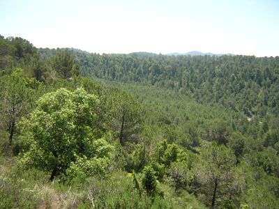
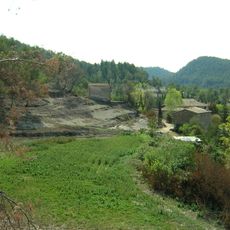
Sot de Pumanyà, indret de Monistrol de Calders
Location: Monistrol de Calders
Elevation above the sea: 600 m
GPS coordinates: 41.77079,2.03718
Latest update: April 30, 2025 17:01
La Coma (Monistrol de Calders)
1.2 km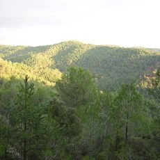
Serrat de Baiones
1.5 km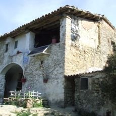
El Xei (Marfà)
1.4 km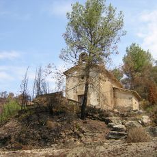
Mare de Déu del Consol de la Coma
1.2 km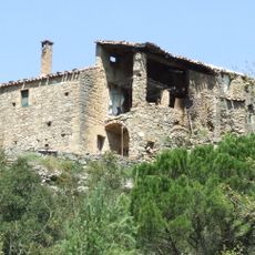
Els Sorts (Marfà)
1.6 km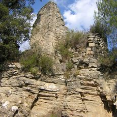
Pumanyà
430 m
El Codro Bressol
1.1 km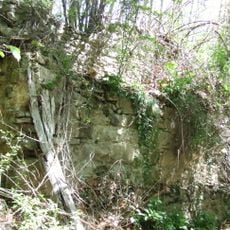
Molí dels Sorts
1.5 km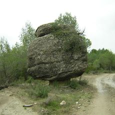
El Codro Bolet
281 m
El Codro Llampat
1.4 km
Solell del Codro Llampat
1.5 km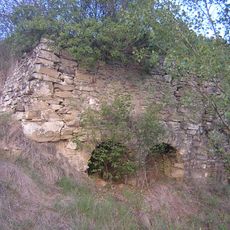
Forn de la Coma
1.2 km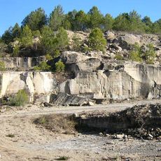
Pedrera de Coll Girant
907 m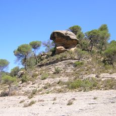
Roc del Paraigua
1 km
Bac del Coix
1.3 km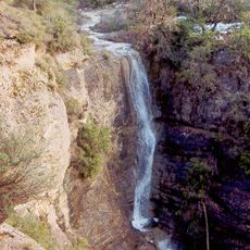
Salt del Torrent de Colljovà
1.1 km
Els Salarots
984 m
Pedrera de la Beresma
1 km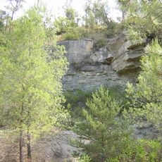
Pedrera de la Coma
1.4 km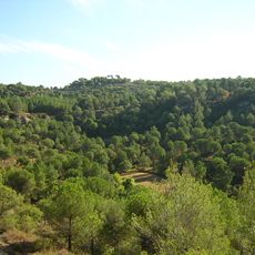
Racó del Rovell
1.6 km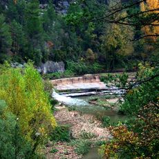
Resclosa de la Coma
1.5 km
Pedrera de l'Estrada
1.5 km
Horta de la Coma
597 m
La Beresma
1.1 km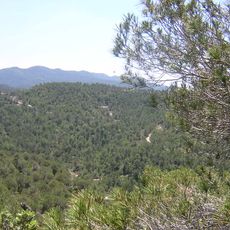
Les Esqueroses
647 m
Resclosa de Pumanyà
656 m
La Daina
1.5 km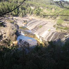
Els Gorgs Blaus
961 mVisited this place? Tap the stars to rate it and share your experience / photos with the community! Try now! You can cancel it anytime.
Discover hidden gems everywhere you go!
From secret cafés to breathtaking viewpoints, skip the crowded tourist spots and find places that match your style. Our app makes it easy with voice search, smart filtering, route optimization, and insider tips from travelers worldwide. Download now for the complete mobile experience.

A unique approach to discovering new places❞
— Le Figaro
All the places worth exploring❞
— France Info
A tailor-made excursion in just a few clicks❞
— 20 Minutes