
Roc del Cucut, mountain in Spain
Location: Les Valls de Valira
Elevation above the sea: 1,275.4 m
GPS coordinates: 42.38335,1.49908
Latest update: March 5, 2025 08:59
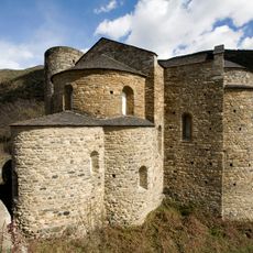
Sant Serni de Tavèrnoles
3.4 km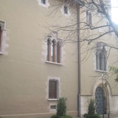
Palau Episcopal de la Seu d'Urgell
4.2 km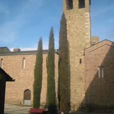
Sant Miquel de la Seu d'Urgell
4.2 km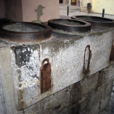
Mesures de la bladeria de la Seu d'Urgell
4.2 km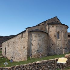
Sant Vicenç d'Estamariu
2.3 km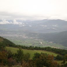
Pla de les Forques (la Seu d'Urgell)
3.7 km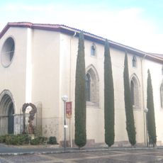
Sant Domènec de la Seu d'Urgell
4.1 km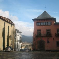
Casa de la Ciutat
4.1 km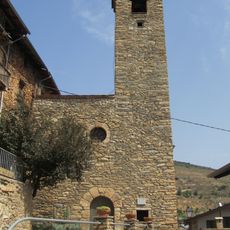
Santa Cecília d'Estamariu
2.3 km
Parador de la Seu d'Urgell
4.1 km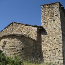
Santa Maria de les Peces
3.9 km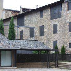
Deganat de la Seu d'Urgell
4.2 km
Espai Ermengol
4.2 km
Campanar de Sant Martí de Bescaran
4.2 km
Can Fiter
4.2 km
Cal Patalín
4.3 km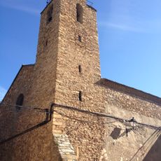
Sant Esteve d'Alàs
3.6 km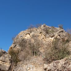
Castell de Torres
3.6 km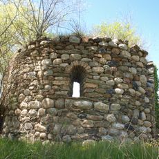
Sant Esteve del Pont
4.2 km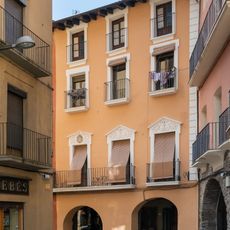
Cal Tarragona
4.2 km
Sant Jaume de Llirt
500 m
Santa Margarida de Calbinyà
2.9 km
Sant Pere Somont
2.6 km
Pont del Molí d'Estamariu
2.9 km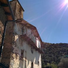
Sant Tomàs de Calbinyà
2.6 km
Sant Domènec
4.1 km
Museu Diocesà d’Urgell
4.2 km
Cal Serrano
4.3 kmReviews
Visited this place? Tap the stars to rate it and share your experience / photos with the community! Try now! You can cancel it anytime.
Discover hidden gems everywhere you go!
From secret cafés to breathtaking viewpoints, skip the crowded tourist spots and find places that match your style. Our app makes it easy with voice search, smart filtering, route optimization, and insider tips from travelers worldwide. Download now for the complete mobile experience.

A unique approach to discovering new places❞
— Le Figaro
All the places worth exploring❞
— France Info
A tailor-made excursion in just a few clicks❞
— 20 Minutes