
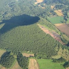
Can Tià vulcano, mountain in Spain
Location: Sant Feliu de Pallerols
Elevation above the sea: 828 m
GPS coordinates: 42.12289,2.54533
Latest update: March 11, 2025 12:11

Zona Volcànica de la Garrotxa Natural Park
3.1 km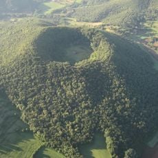
Santa Margarida Volcano
2.1 km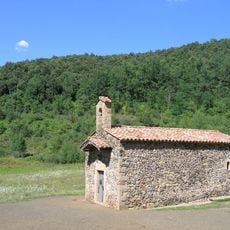
Ermita de Santa Margarida de Sacot
2.1 km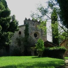
Sant Iscle de Colltort
1.4 km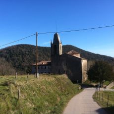
Sant Miquel Sacot
2.1 km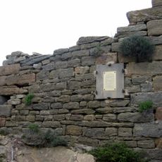
Castell de Colltort
1.5 km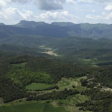
Traiter volcano
2 km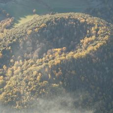
Rocanegra volcano
2.1 km
Sant Salvador de Puig-alder
3 km
Castell de Puig-alder
3 km
Sant Joan de les Medes
2.9 km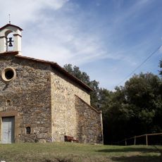
Santa Llúcia de Treinteres
2.8 km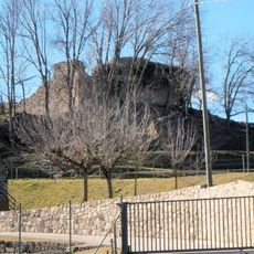
Can Batlle
2.1 km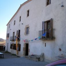
Rectoria de Sant Miquel Sacot
2.1 km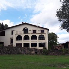
Can Font
2.7 km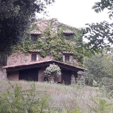
Can Descolls
2.7 km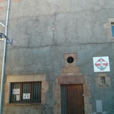
Antic Hospital de Santa Pau
3.1 km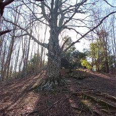
Faig Rodó
2.9 km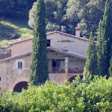
Campderric
1.5 km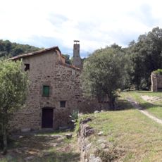
Can Llúcia
2.7 km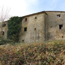
La Plana
2.3 km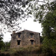
Can Pardàs
2.8 km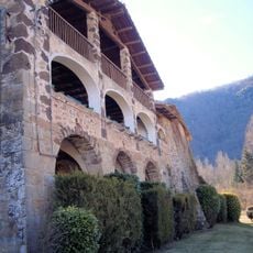
Can Prat de la Plaça
2.4 km
Can Vila (Santa Pau)
2.6 km
Llinda de Can Masdevall
2.7 km
La Barraca
2.6 km
Ventós
1.4 km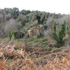
L'Aubert
2.9 kmReviews
Visited this place? Tap the stars to rate it and share your experience / photos with the community! Try now! You can cancel it anytime.
Discover hidden gems everywhere you go!
From secret cafés to breathtaking viewpoints, skip the crowded tourist spots and find places that match your style. Our app makes it easy with voice search, smart filtering, route optimization, and insider tips from travelers worldwide. Download now for the complete mobile experience.

A unique approach to discovering new places❞
— Le Figaro
All the places worth exploring❞
— France Info
A tailor-made excursion in just a few clicks❞
— 20 Minutes