
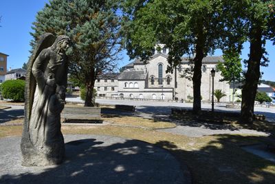
Guitiriz, human settlement in Guitiriz, Terra Chá, Lugo Province, Spain
Location: Lagostelle, Guitiriz
Location: Lugo Province
GPS coordinates: 43.18111,-7.89444
Latest update: April 8, 2025 14:36
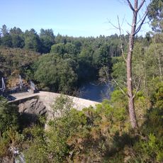
A Castellana Reservoir
9.5 km
Castro de Vilardois
10 km
Castromelas
7.7 km
Castro de Vila do Castro
11.5 km
Castro de Penedo
12.6 km
Castro de Pedreira
11.1 km
Castro de Remourán
6.4 km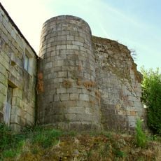
Castle of Pobra
5.2 km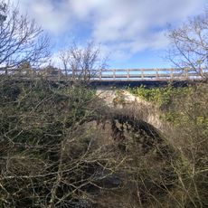
Ponte Nova da Castellana
9.9 km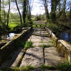
Ponte Marzá
11.4 km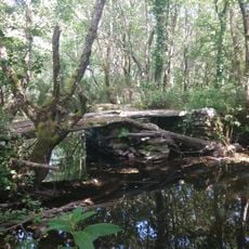
Ponte da Espiñeira
8.4 km
Ponte dos Morangueiros
9.8 km
Ponte do Arco
10.1 km
Ponte Vella da Castellana
9.9 km
Bridge of Ponte Aranga
11.5 km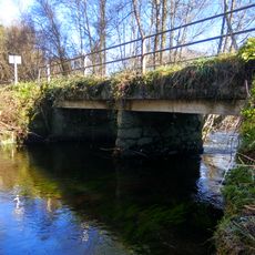
Antiga Ponte dos Carneiros
11.3 km
Ponte de Vilardois
10.1 km
Ponte no Portalece
11.7 km
Ponte de Samel
9.1 km
Casa do Concello de Curtis
12.3 km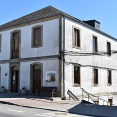
Biblioteca Municipal de Guitiriz - Casa Habanera
258 m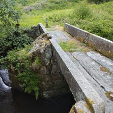
Ponte Costeira
10.6 km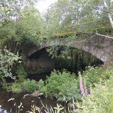
Ponte dos Carneiros
11.6 km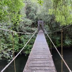
Ponte Colgante
12.9 km
Pontella no Portalece
11.5 km
Granary of Guitiriz
340 m
Railway bridge between A Espiñeira and Samel
8.3 km
Pasos de Samel
8.1 kmVisited this place? Tap the stars to rate it and share your experience / photos with the community! Try now! You can cancel it anytime.
Discover hidden gems everywhere you go!
From secret cafés to breathtaking viewpoints, skip the crowded tourist spots and find places that match your style. Our app makes it easy with voice search, smart filtering, route optimization, and insider tips from travelers worldwide. Download now for the complete mobile experience.

A unique approach to discovering new places❞
— Le Figaro
All the places worth exploring❞
— France Info
A tailor-made excursion in just a few clicks❞
— 20 Minutes