
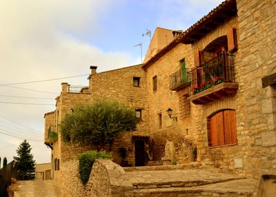
L'Astor, human settlement in Pujalt, Anoia, Penedès, Spain
Location: Pujalt
Elevation above the sea: 712 m
GPS coordinates: 41.69022,1.42702
Latest update: March 13, 2025 07:54
Pujalt Observatory
3 km
Santa Maria de Gàver (església nova)
3.1 km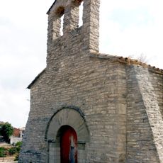
Sant Joan de Vilamajor
1.5 km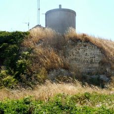
Castell de Pujalt
3.1 km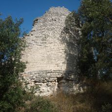
Castell de Gàver
2.8 km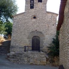
Santa Maria del Castell de Santa Maria
2.1 km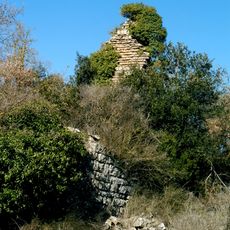
Castell de Montesquiu
464 m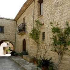
Cal Carulla
87 m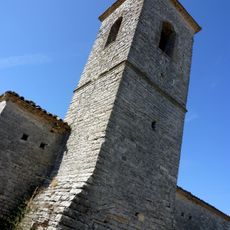
Sant Pere de Sant Domí
3 km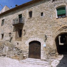
Cal Pou
63 m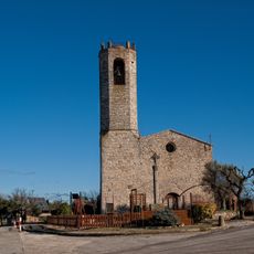
Sant Andreu de Pujalt
3.1 km
Santa Maria de Gàver
2.8 km
Castell de Sant Domí
2.9 km
Balsareny de Segarra
1.8 km
Santa Magdalena de l'Astor
103 m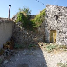
Castell de Santa Maria
2.1 km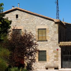
Cal Benviure
2.6 km
Cal Salat de Gàver
3 km
Capella de la Concepció de Pujalt
3 km
Pou de gel de Sant Domí
2.7 km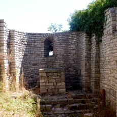
Sant Ponç de Pujalt
3.1 km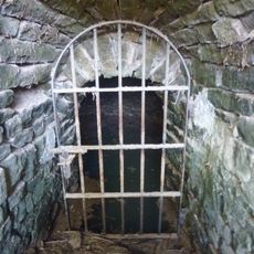
Font del Pastor
3.1 km
Santa Llúcia de la Rubiola
3.4 km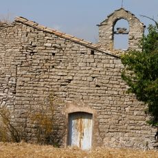
Sant Joan de les Torres
1.4 km
Cal Franquesa
3 km
Antic Ajuntament de Pujalt
3 km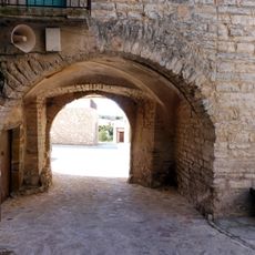
Portal i murs de Pujalt
3 km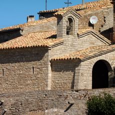
Mare de Déu de Montserrat de Ben Viure
2.6 kmReviews
Visited this place? Tap the stars to rate it and share your experience / photos with the community! Try now! You can cancel it anytime.
Discover hidden gems everywhere you go!
From secret cafés to breathtaking viewpoints, skip the crowded tourist spots and find places that match your style. Our app makes it easy with voice search, smart filtering, route optimization, and insider tips from travelers worldwide. Download now for the complete mobile experience.

A unique approach to discovering new places❞
— Le Figaro
All the places worth exploring❞
— France Info
A tailor-made excursion in just a few clicks❞
— 20 Minutes