
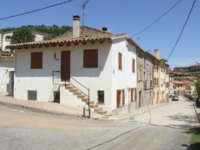
La Sagrera, indret de l'Estany
Location: L'Estany
Elevation above the sea: 878.2 m
GPS coordinates: 41.86880,2.11107
Latest update: March 15, 2025 08:39
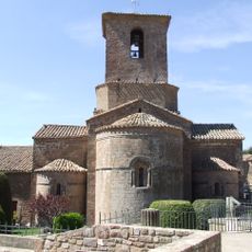
Monestir de Santa Maria de l'Estany
139 m
Puig de la Caritat
807 m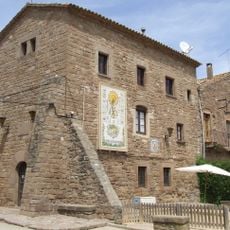
Ajuntament de l'Estany
134 m
Puigmartre
843 m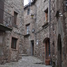
Carrer dels Monjos
98 m
La Mina de l'Estany
441 m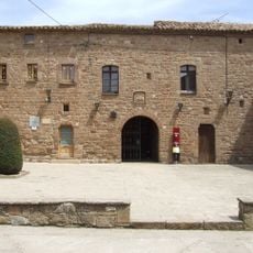
Antigues dependències del monestir
114 m
La Crossa (l'Estany)
508 m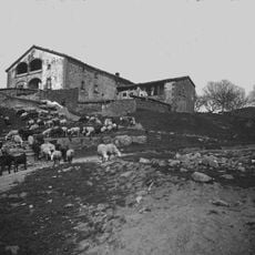
El Grau
305 m
El Masot
1 km
El Sant Crist del Fossar
361 m
Cal Jan
1.3 km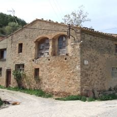
Cal Noguera (l'Estany)
227 m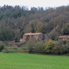
La Carrera (l'Estany)
772 m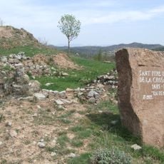
Sant Pere del Coll de la Crossa
431 m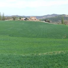
Pla de la Crossa
420 m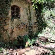
Font de la Sala (l'Estany)
1.3 km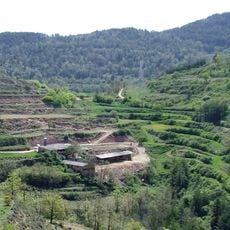
Cal Parrella
485 m
Ca l'Alberg
902 m
Cal Valeri
82 m
Giraculs
288 m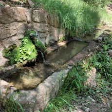
Font dels Bous
1.3 km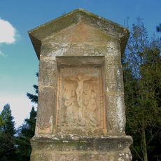
Pedró del Pontarró
403 m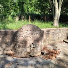
Font del Mig del Prat
533 m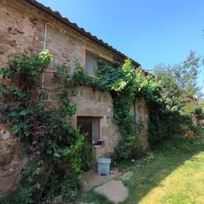
Raval del Prat
1.2 km
El Prat
648 m
La Devesa
283 m
La Fàbrega
784 mReviews
Visited this place? Tap the stars to rate it and share your experience / photos with the community! Try now! You can cancel it anytime.
Discover hidden gems everywhere you go!
From secret cafés to breathtaking viewpoints, skip the crowded tourist spots and find places that match your style. Our app makes it easy with voice search, smart filtering, route optimization, and insider tips from travelers worldwide. Download now for the complete mobile experience.

A unique approach to discovering new places❞
— Le Figaro
All the places worth exploring❞
— France Info
A tailor-made excursion in just a few clicks❞
— 20 Minutes