
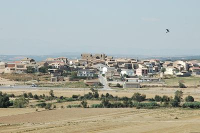
Les Pallargues, human settlement in Els Plans de Sió, Segarra, Ponent, Spain
Location: Els Plans de Sió
Elevation above the sea: 414 m
GPS coordinates: 41.76180,1.19755
Latest update: April 2, 2025 14:27
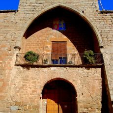
Castell de les Pallargues
70 m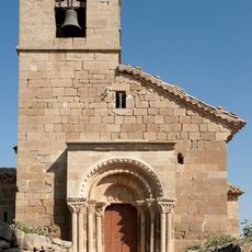
Sant Esteve de Pelagalls
1.2 km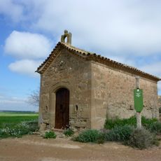
Santa Magdalena
392 m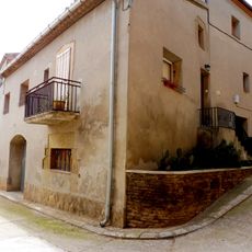
Cal Martí
1.6 km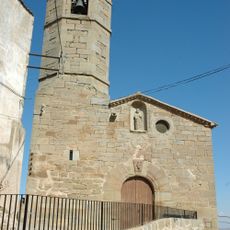
Sant Pere de Bellver
2.5 km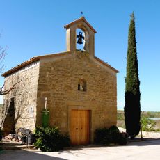
Sant Llorenç de Ratera
2.4 km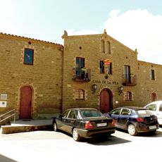
Ajuntament de les Pallargues
70 m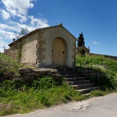
Ermita de Sant Roc de Mont-roig
1.3 km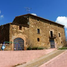
Mas de Golonor
1.8 km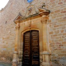
Santa Maria de Mont-roig
1.7 km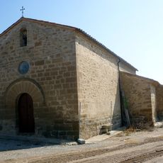
Mare de Déu del Bellvilar
1.3 km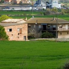
Molí Boixadera
1.4 km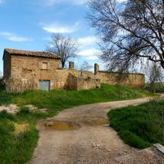
Molí del Serra
1.8 km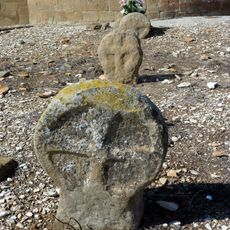
Funeral steles of Pelagalls
1.2 km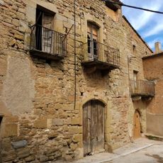
Cal Valls
1.6 km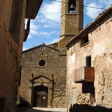
Sant Salvador de les Pallargues
30 m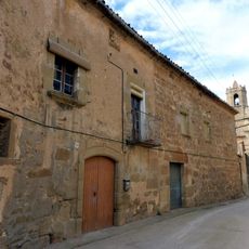
Cal Figueres
1.7 km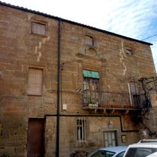
Cal Gili
1.7 km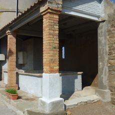
Laundries of Pelagalls
1.2 km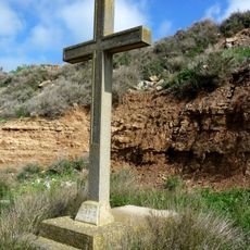
Holy Cross Mission Pallargues
231 m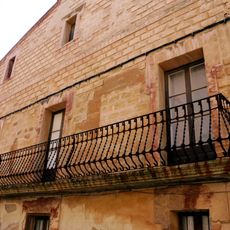
Cal Fuster
44 m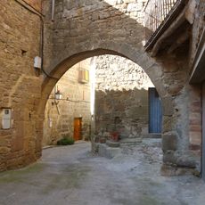
Portal de Pelagalls
1.2 km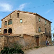
Cal Romaní
1.7 km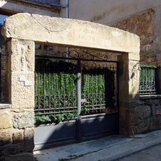
Cal Forn
1.2 km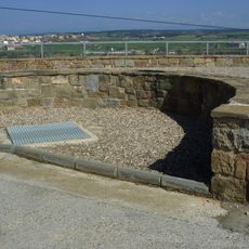
Ice well Pelagalls
1.2 km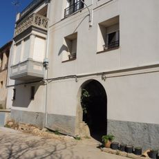
Portals de Ratera
2.3 km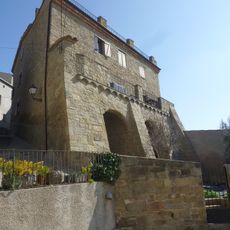
Rectoria
1.2 km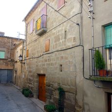
Cal Pallàs
1.2 kmReviews
Visited this place? Tap the stars to rate it and share your experience / photos with the community! Try now! You can cancel it anytime.
Discover hidden gems everywhere you go!
From secret cafés to breathtaking viewpoints, skip the crowded tourist spots and find places that match your style. Our app makes it easy with voice search, smart filtering, route optimization, and insider tips from travelers worldwide. Download now for the complete mobile experience.

A unique approach to discovering new places❞
— Le Figaro
All the places worth exploring❞
— France Info
A tailor-made excursion in just a few clicks❞
— 20 Minutes