
Pla de Villorbina, indret de Riner
Location: Freixinet
Elevation above the sea: 685 m
GPS coordinates: 41.91200,1.58642
Latest update: March 6, 2025 18:43
Castell de Riner
3.8 km
Santa Maria de Su
3.2 km
Sant Quintí
3.9 km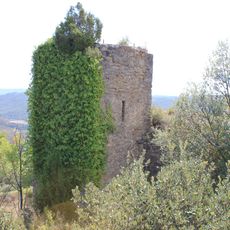
Castell de Clariana de Cardener
3.9 km
Can Vendrell de Su
3.2 km
Cal Cabot
3.9 km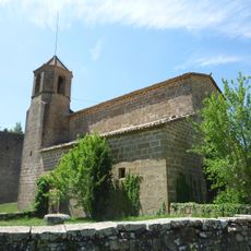
Sant Martí de Riner
3.8 km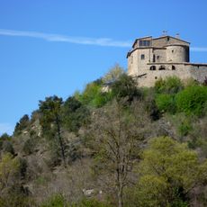
Santdiumenge
2.2 km
Villorbina
789 m
Rectoria de Su
3.3 km
Sant Cristòfol de Freixinet
1.9 km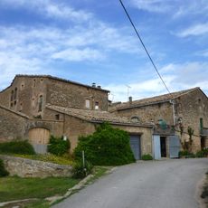
Conjunt de l'Avellanosa
2.9 km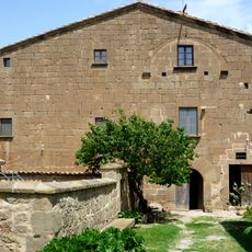
Casamartina
2.9 km
La Garriga (Cardona)
3 km
Sant Serni de Clariana
3.9 km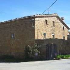
Can Ribalta de Su
3.2 km
Carrer Fosc de Su
3.2 km
Sant Tomàs de l'Avellanosa
2.9 km
Trullars (Clariana de Cardener)
1.3 km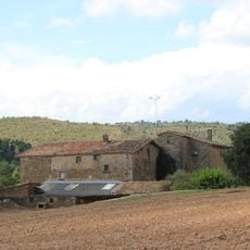
El Solà (Riner)
2.9 km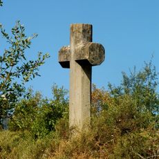
Creu de terme de Palà de Coma
3.2 km
Villaró de la Torre
4 km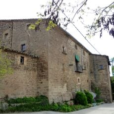
Cal Garriga
1.9 km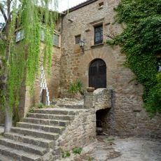
Cal Llereu
1.9 km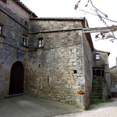
Cal Balius
2.9 km
Ca l'Estruc
2.9 km
Cal Bertran
1.9 km
Cal Tolleuda
1.9 kmVisited this place? Tap the stars to rate it and share your experience / photos with the community! Try now! You can cancel it anytime.
Discover hidden gems everywhere you go!
From secret cafés to breathtaking viewpoints, skip the crowded tourist spots and find places that match your style. Our app makes it easy with voice search, smart filtering, route optimization, and insider tips from travelers worldwide. Download now for the complete mobile experience.

A unique approach to discovering new places❞
— Le Figaro
All the places worth exploring❞
— France Info
A tailor-made excursion in just a few clicks❞
— 20 Minutes