
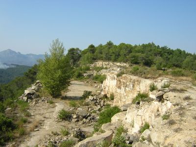
Pedrera del Tasar, indret de Monistrol de Calders
Location: Monistrol de Calders
Elevation above the sea: 682 m
GPS coordinates: 41.74227,2.03130
Latest update: March 7, 2025 13:23
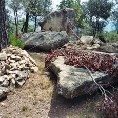
Dolmen de Trullars
400 m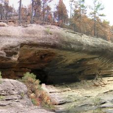
Balma Freda
967 m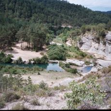
Resclosa del Molí d'en Sala
1.6 km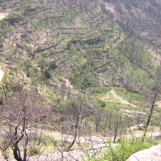
Hort de l'Om
422 m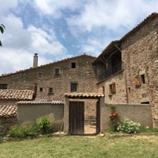
El Coll (Granera)
1.1 km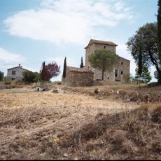
Rubió
1.5 km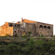
La Roca (Granera)
1.1 km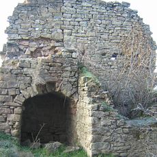
La Casanova (Monistrol de Calders)
1.4 km
Gorg Negre
1.4 km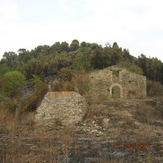
L'Om (Monistrol de Calders)
911 m
Casalot de la Llegenda
495 m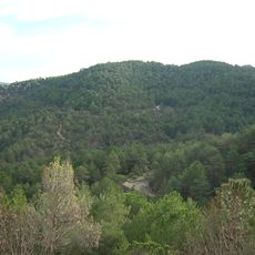
Muntanya de la Sala
1.6 km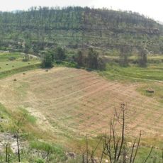
Pla de Trullars
526 m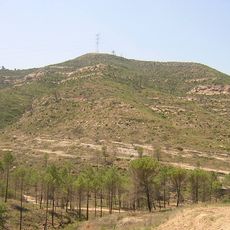
Puig del Rossinyol
1.6 km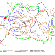
El Carnerol
847 m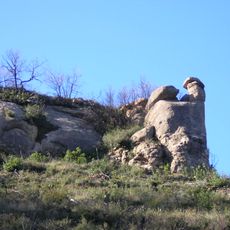
El Codro Barret
1.2 km
Trullars
398 m
Baga de Saladic
1.4 km
Baga del Coll
1.3 km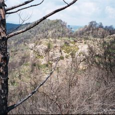
Roca Raor
694 m
El Codro del Serrat del Trompa
166 m
Hort del Coll
1 km
Clot de la Casanova
1.5 km
Baga de l'Om
787 m
Solells de la Casanova
892 m
Quintana de l'Otzetó
1.2 km
Plans de Rubió
1.5 km
Baga del Solà
1.6 kmReviews
Visited this place? Tap the stars to rate it and share your experience / photos with the community! Try now! You can cancel it anytime.
Discover hidden gems everywhere you go!
From secret cafés to breathtaking viewpoints, skip the crowded tourist spots and find places that match your style. Our app makes it easy with voice search, smart filtering, route optimization, and insider tips from travelers worldwide. Download now for the complete mobile experience.

A unique approach to discovering new places❞
— Le Figaro
All the places worth exploring❞
— France Info
A tailor-made excursion in just a few clicks❞
— 20 Minutes