
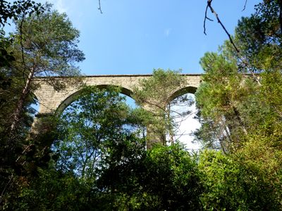
Pont de la Frau, bridge in Lladurs, Spain
Location: Lladurs
Inception: 18 century
Architectural style: vernacular architecture
Elevation above the sea: 731 m
GPS coordinates: 42.02227,1.50016
Latest update: March 7, 2025 05:55
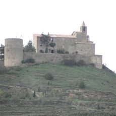
Castellvell de Solsona
3.1 km
Palau Llobera (Solsona)
3.4 km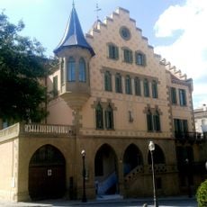
Hotel Sant Roc
3.2 km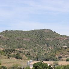
Serrat de Sant Bartomeu
2.6 km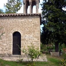
Santa Maria de Casalets
3.1 km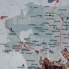
Partida de Sant Pere Màrtir
2.2 km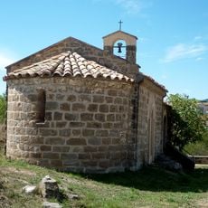
Església de Sant Honorat
3.2 km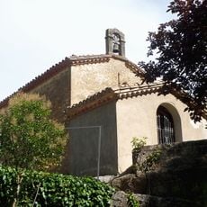
Sant Pere Màrtir
2.3 km
Cal Musiquet
3.3 km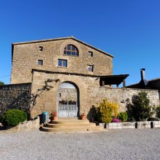
Pallarès de Dalt
2.4 km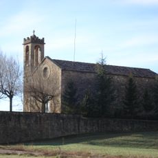
Santa Maria de Lladurs
2.6 km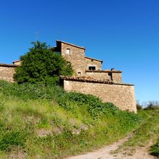
Pallarès de Baix
2.2 km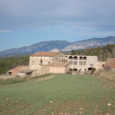
Cinca
3.2 km
Cal Carreres
3.3 km
Sant Miquel de Castellvell
3.1 km
Cal Pau Marussella
3.3 km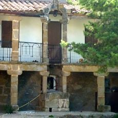
Caputxins Vells
3.3 km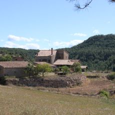
Rotgers
1.4 km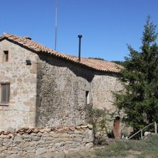
Llera (Lladurs)
1.4 km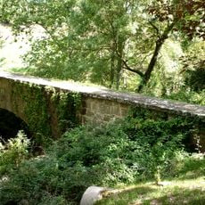
Pont dels Frares
2.5 km
La Freixera
3.3 km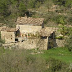
La Ribereta (Lladurs)
1 km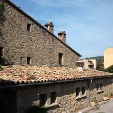
Cabana d'en Geli
3.1 km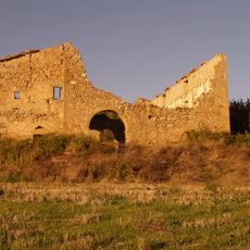
La Trilla (Lladurs)
2.9 km
Mare de Déu del Remei
3.1 km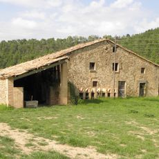
Cabana del Llac
1 km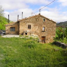
Cal Pallargues
1.6 km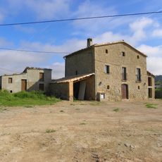
Cal Joan
1.7 kmReviews
Visited this place? Tap the stars to rate it and share your experience / photos with the community! Try now! You can cancel it anytime.
Discover hidden gems everywhere you go!
From secret cafés to breathtaking viewpoints, skip the crowded tourist spots and find places that match your style. Our app makes it easy with voice search, smart filtering, route optimization, and insider tips from travelers worldwide. Download now for the complete mobile experience.

A unique approach to discovering new places❞
— Le Figaro
All the places worth exploring❞
— France Info
A tailor-made excursion in just a few clicks❞
— 20 Minutes