
Pomar, human settlement in Ribera d'Ondara, Segarra, Ponent, Spain
Location: Ribera d'Ondara
Elevation above the sea: 593 m
GPS coordinates: 41.62712,1.34981
Latest update: March 15, 2025 08:29
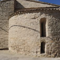
Sant Jaume de Pallerols
1 km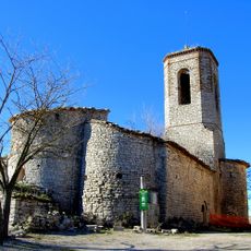
Santa Maria de Montlleó
2.1 km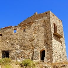
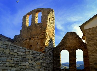
Castell de Timor
2.4 km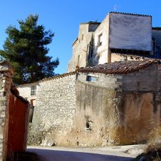
Castell de Briançó
1.1 km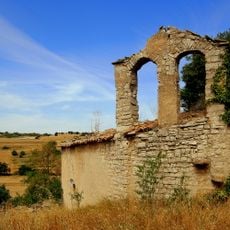
Santa Maria de Montfar
2.4 km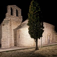
Església de Sant Antolí
723 m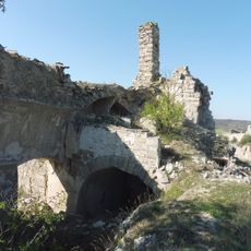
Sant Jaume de Timor
2.4 km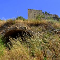
Castell de Montlleó
2.2 km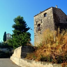
Castell de Sant Antolí
730 m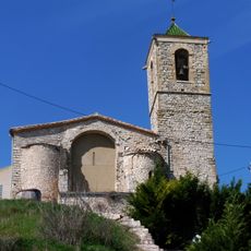
Santa Maria de Rubinat
2.5 km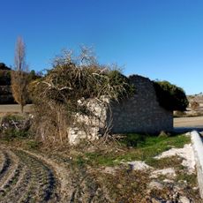
Molí del Valles
1.1 km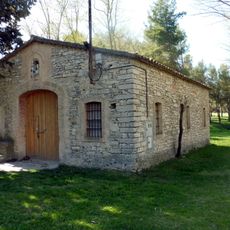
Capella del Pare Claret de Ribera d'Ondara
2.5 km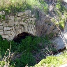
Font de Briançó
1 km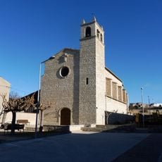
Santa Maria de Sant Antolí
680 m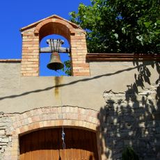
Església Nova de Pomar
84 m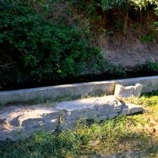
Abeurador del Camí del Castell
464 m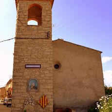
Sant Jordi dels Hostalets
1.3 km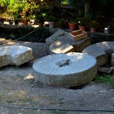
Molí de Baix de Sant Antolí
628 m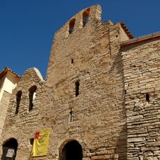
Sant Pau de Narbona de Pomar
73 m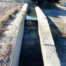
Safareig de Pallerols
1.1 km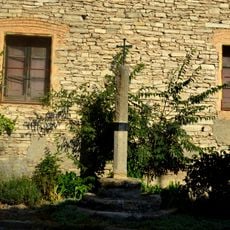
Creu de terme dels Hostalets
1.1 km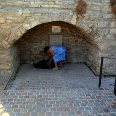
Font de Sant Antolí
434 m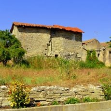
Molí del Mas de Baix
2.1 km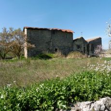
Molí dels Hostalets
1.4 km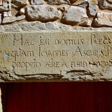
Rectoria de Rubinat
2.5 km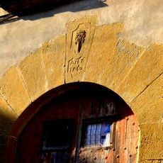
Casa d'Hostes del Castell
725 m
Pont Vell de Sant Antolí
647 m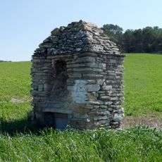
Pou Vell
1.1 kmReviews
Visited this place? Tap the stars to rate it and share your experience / photos with the community! Try now! You can cancel it anytime.
Discover hidden gems everywhere you go!
From secret cafés to breathtaking viewpoints, skip the crowded tourist spots and find places that match your style. Our app makes it easy with voice search, smart filtering, route optimization, and insider tips from travelers worldwide. Download now for the complete mobile experience.

A unique approach to discovering new places❞
— Le Figaro
All the places worth exploring❞
— France Info
A tailor-made excursion in just a few clicks❞
— 20 Minutes