
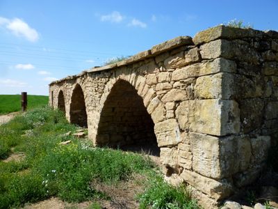
Stone Cabin, als Plans de Sió
Location: Mont-roig
Inception: 19 century
Architectural style: vernacular architecture
Elevation above the sea: 380 m
Address: Camí a la Figuerosa
GPS coordinates: 41.73419,1.17491
Latest update: March 10, 2025 11:37
Sant Esteve de Pelagalls
3.1 km
Cal Martí
2 km
Pletes de les Pallargues
1.7 km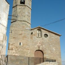
Sant Pere de Bellver
1.6 km
Creu de terme d'Ossó de Sió
2.6 km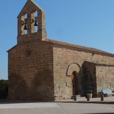
Sant Gil de Riudovelles
2.8 km
Ermita de Sant Roc de Mont-roig
2.4 km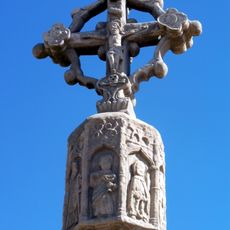
Creu de terme de Bellver d'Ossó
1.3 km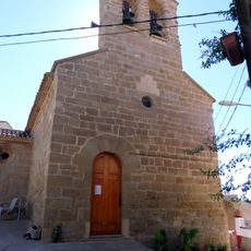
Mare de Déu del Remei d'Ossó de Sió
2.6 km
Castell de Riudovelles
2.7 km
Santa Maria de Mont-roig
1.9 km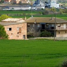
Molí Boixadera
2.2 km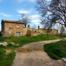
Molí del Serra
2.2 km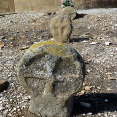
Funeral steles of Pelagalls
3.1 km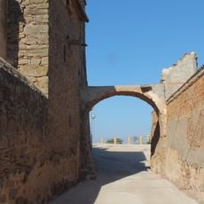
Arch crossing the road to Circumvalació
2.8 km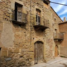
Cal Valls
2 km
Cal Figueres
1.9 km
Cal Gili
1.9 km
Laundries of Pelagalls
3.1 km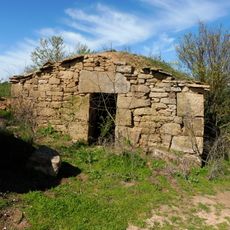
Cabana de volta dels Reguers
1.6 km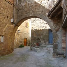
Portal de Pelagalls
3 km
Cal Romaní
1.9 km
Cal Portalé
2.8 km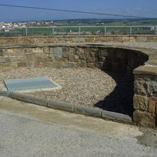
Ice well Pelagalls
3 km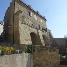
Rectoria
3 km
Cal Pallàs
3 km
House in carrer de les Flors
2.8 km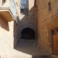
Pas cobert
2.8 kmVisited this place? Tap the stars to rate it and share your experience / photos with the community! Try now! You can cancel it anytime.
Discover hidden gems everywhere you go!
From secret cafés to breathtaking viewpoints, skip the crowded tourist spots and find places that match your style. Our app makes it easy with voice search, smart filtering, route optimization, and insider tips from travelers worldwide. Download now for the complete mobile experience.

A unique approach to discovering new places❞
— Le Figaro
All the places worth exploring❞
— France Info
A tailor-made excursion in just a few clicks❞
— 20 Minutes