
Nucli antic de Bordils, human settlement in Bordils, Gironès, Comarques Gironines, Spain
Location: Bordils
Elevation above the sea: 41 m
GPS coordinates: 42.04400,2.91108
Latest update: March 22, 2025 18:05

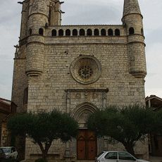
Sant Esteve de Bordils
24 m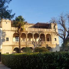
Can Tallada
169 m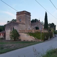
Can Baldiret
641 m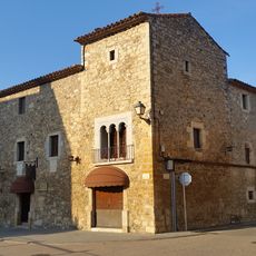
Can Xapa
83 m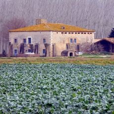
Mas Pujadas
1.5 km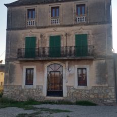
Can Sastre
345 m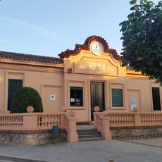
Escola Municipal de Bordils
547 m
Can Mallorquí
1.1 km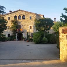
Ca l'Estevenet
287 m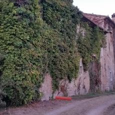
Can Coll
508 m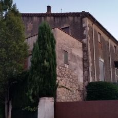
Can Clavaguera
199 m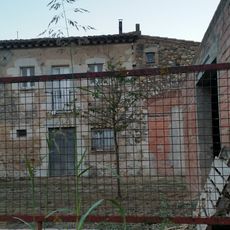
Can Ros del Pla
848 m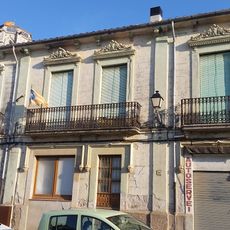
Can Vilella
36 m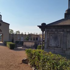
Cementiri de Bordils
731 m
Cal Metge Bosch
345 m
Can Torre
275 m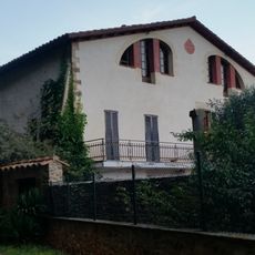
Can Batista (Bordils)
1.2 km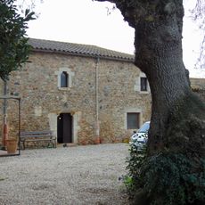
Can Conill Gros
1.3 km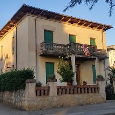
Can Vila
454 m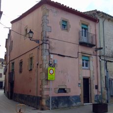
House in carrer Ample, 20
35 m
Can Sureda
493 m
Can Bosch (Bordils)
411 m
Rectoria de Bordils
26 m
Mas Sastre (Bordils)
248 m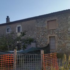
Can Colom
328 m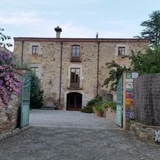
Ca l'Avel·lí Vell
415 m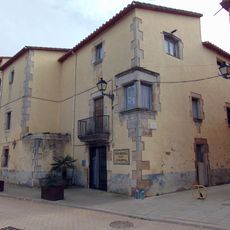
Casa del Dr. Pere Pagès
37 m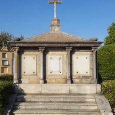
Panteó de Joaquím Brú i família Crusis
732 mReviews
Visited this place? Tap the stars to rate it and share your experience / photos with the community! Try now! You can cancel it anytime.
Discover hidden gems everywhere you go!
From secret cafés to breathtaking viewpoints, skip the crowded tourist spots and find places that match your style. Our app makes it easy with voice search, smart filtering, route optimization, and insider tips from travelers worldwide. Download now for the complete mobile experience.

A unique approach to discovering new places❞
— Le Figaro
All the places worth exploring❞
— France Info
A tailor-made excursion in just a few clicks❞
— 20 Minutes