
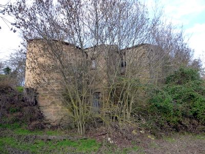
Molí de la Roureda, طاحونة مائية في إسبانيا
Location: Torrefeta
Inception: 19 century
Architectural style: vernacular architecture
Elevation above the sea: 442 m
Address: Camí a Concabella
GPS coordinates: 41.75170,1.26422
Latest update: June 3, 2025 10:05
Sant Salvador de Gra
2 km
Castell de Sedó
2.2 km
Santes Masses de Sedó
1.6 km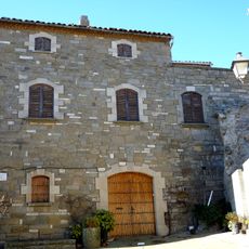
Castell de Gra
2.1 km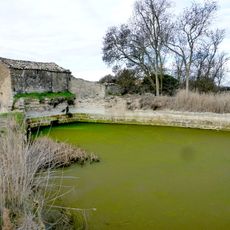
Molí del Vidal
387 m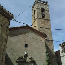
Sant Amanç de Torrefeta
790 m
Sant Donat de Sedó
2.2 km
Cabana de pastor de Sedó
1.6 km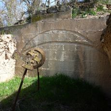
Molí de Baix
1.9 km
Cal Lluís
842 m
Cal Vidal
824 m
Cal Sorribes
2.2 km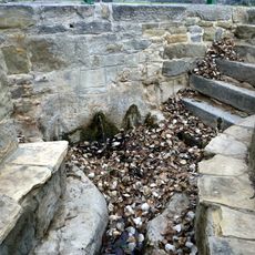
Font del Poble de Torrefeta
931 m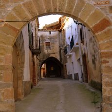
Murs i antic portal d'accés de Torrefeta
880 m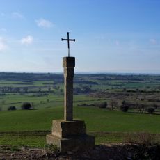
Creu de terme de Sedó
1.6 km
Cal Sinyor
824 m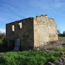
Molí de la Casa Nova
1 km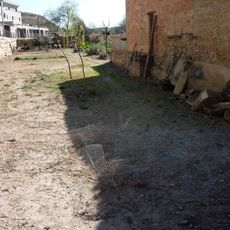
Molí de Sedó
2.2 km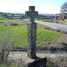
Creu de terme I
1.9 km
Ca l'Agnés
821 m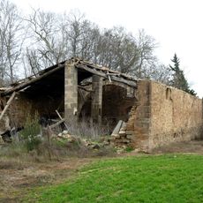
Molí del Vives
878 m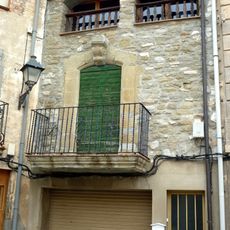
Cal Martí
832 m
Molí del Solsona de Baix
782 m
Passatge de Torrefeta
850 m
Creu de terme
1.9 km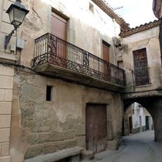
Ca l'Isidre (Torrefeta)
851 m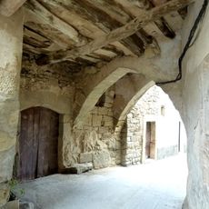
Passatge de la plaça Major (Torrefeta)
854 m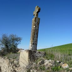
Creu de terme III
1.8 kmReviews
Visited this place? Tap the stars to rate it and share your experience / photos with the community! Try now! You can cancel it anytime.
Discover hidden gems everywhere you go!
From secret cafés to breathtaking viewpoints, skip the crowded tourist spots and find places that match your style. Our app makes it easy with voice search, smart filtering, route optimization, and insider tips from travelers worldwide. Download now for the complete mobile experience.

A unique approach to discovering new places❞
— Le Figaro
All the places worth exploring❞
— France Info
A tailor-made excursion in just a few clicks❞
— 20 Minutes