
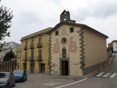
Santa Maria del Sòl del Pont, church building in Roda de Ter, Spain
Location: Roda de Ter
Inception: 18 century
Architectural style: baroque architecture
Elevation above the sea: 436 m
Address: Sòl del Pont
GPS coordinates: 41.97988,2.30714
Latest update: March 7, 2025 19:25
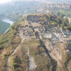
Jaciment arqueològic de l'Esquerda
798 m
Monestir de Santa Magdalena de Conangle
1.5 km
Fàbrica la Blava
317 m
L'Esquerda Archaeological Museum
574 m
Fàbrica Salou-Baurier
683 m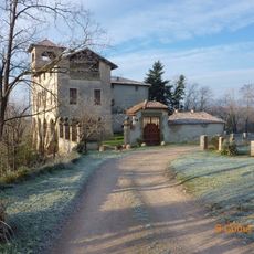
Castell de Vilagelans
1.9 km
El Bac de Roda
1 km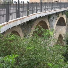
Pont Vell de Roda
85 m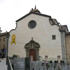
Sant Pere
155 m
Castell de s'Avellana
2.2 km
Pla de la Sala
1.7 km
Sant Miquel de la Guàrdia
1.9 km
Mas Salou
1.9 km
Teatre Eliseu
237 m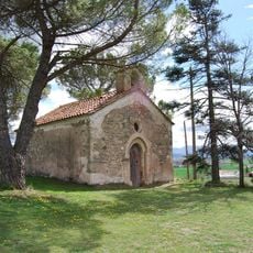
Santa Fe de Vilagelans
1.6 km
Antiga caserna de la Guàrdia Civil de Roda de Ter
561 m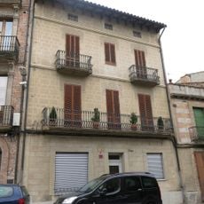
House in plaça Major, 2 bis
184 m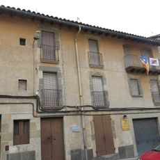
Casa Bac de Roda
231 m
Àrea de Recerca Experimental Arqueològica de l'Esquerda
705 m
Masoveria del Mas de Salou
1.9 km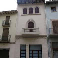
House in carrer d'en Pere Almeda, 6
163 m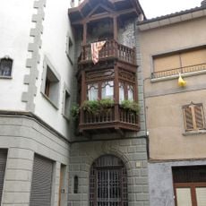
Can Bracons
169 m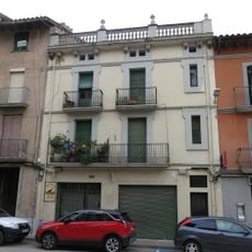
House in plaça Major, 5
183 m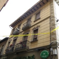
House in carrer d'en Bac de Roda, 15
286 m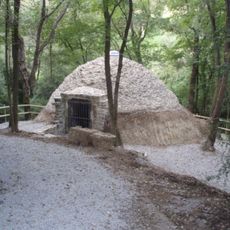
Ice Pit of Sorralta
1.9 km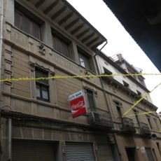
House in carrer d'en Bac de Roda, 2-4
234 m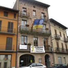
Casa de la Vila de Roda
201 m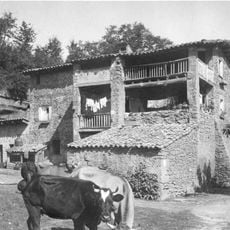
La Bauma
2.1 kmVisited this place? Tap the stars to rate it and share your experience / photos with the community! Try now! You can cancel it anytime.
Discover hidden gems everywhere you go!
From secret cafés to breathtaking viewpoints, skip the crowded tourist spots and find places that match your style. Our app makes it easy with voice search, smart filtering, route optimization, and insider tips from travelers worldwide. Download now for the complete mobile experience.

A unique approach to discovering new places❞
— Le Figaro
All the places worth exploring❞
— France Info
A tailor-made excursion in just a few clicks❞
— 20 Minutes