
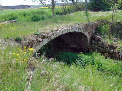
Riudevila Bridge, bridge in Riudellots de la Selva, Spain
Location: Riudellots de la Selva
Inception: 13 century
Architectural style: vernacular architecture
Elevation above the sea: 102 m
GPS coordinates: 41.88446,2.78242
Latest update: March 6, 2025 09:27
Santa Margarida de Vilobí d'Onyar
2.9 km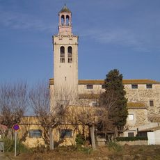
Sant Esteve de Riudellots
2 km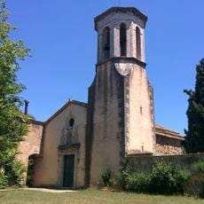
Sant Mateu de Franciac
1.2 km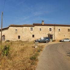
L'Hostal Nou
1.4 km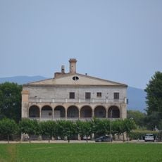
Can Calderó Nou
667 m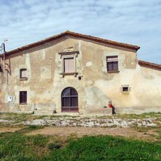
Can Mataró
2.6 km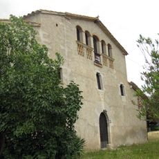
Cal Ferrer Pagès (Vilobí d'Onyar)
2.9 km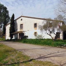
La Tiona
1.8 km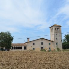
Torre Ponça
1.7 km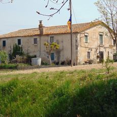
Can Morat
2.1 km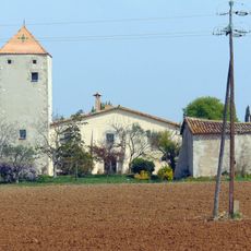
Can Masgrau
2.4 km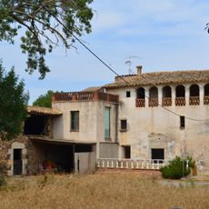
Ca l'Artau
2.2 km
Can Pascol
2 km
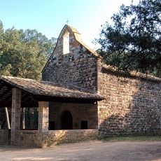
Capella de la Mare de Déu dels Dolors
2.3 km
Mas Alrà
2.4 km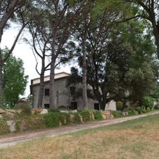
Can Thió
1.3 km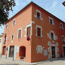
Antiga Casa Consistorial de Riudellots de la Selva
2 km
Ca l'Aimeric
2.4 km
Can Gras
1.5 km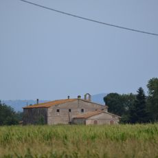
Can Calderó Vell
699 m
Can Fàbregas
1.9 km
House in carrer Petit, 3
1.9 km
Rectoria de Riudellots
1.9 km
Can Carreter Vinyoles
2.9 km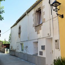
Can Mai
2 km
Can Thió de la Bassa
1.3 km
Capella de la Mare de Déu del Remei
1.4 km
Can Mateu
1.5 kmReviews
Visited this place? Tap the stars to rate it and share your experience / photos with the community! Try now! You can cancel it anytime.
Discover hidden gems everywhere you go!
From secret cafés to breathtaking viewpoints, skip the crowded tourist spots and find places that match your style. Our app makes it easy with voice search, smart filtering, route optimization, and insider tips from travelers worldwide. Download now for the complete mobile experience.

A unique approach to discovering new places❞
— Le Figaro
All the places worth exploring❞
— France Info
A tailor-made excursion in just a few clicks❞
— 20 Minutes