
Talteüll, human settlement in Massoteres, Segarra, Ponent, Spain
Location: Massoteres
Elevation above the sea: 481 m
GPS coordinates: 41.81917,1.32833
Latest update: March 29, 2025 06:24
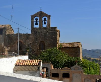
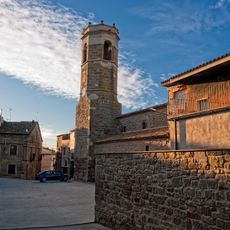
Sant Salvador de Massoteres
2.8 km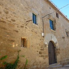
Cal Soler de Massoteres
2.8 km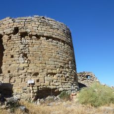
Castell de Talteüll
21 m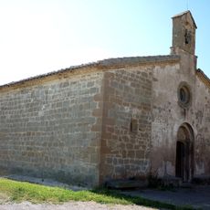
Sant Pelegrí de Biosca
2.2 km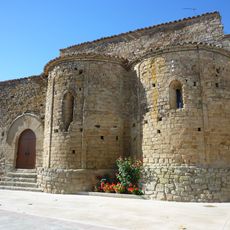
Sant Pere de Talteüll
22 m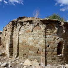
Sant Simeó de Massoteres
2.8 km
Mas Mascó
3.2 km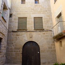
Cal Pintor
2.8 km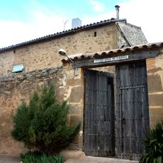
Mas de Nadal
2.7 km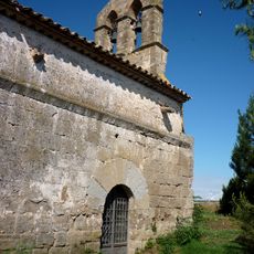
Mare de Déu de Camp-real
1.6 km
Molí del Cava
2.4 km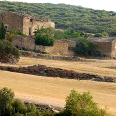
Mas de les Mates
1.1 km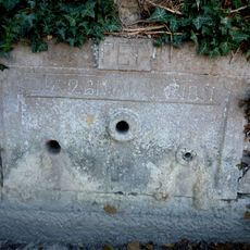
Font de la Puig
2.6 km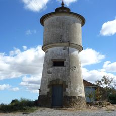
Dipòsit de Massoteres
2.9 km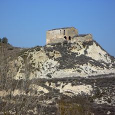
Masia del Bon Pas
1.8 km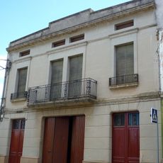
Building in carretera de Guissona, 4
2.9 km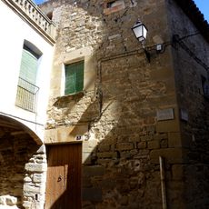
Carrer Principal, 2, de Massoteres
2.8 km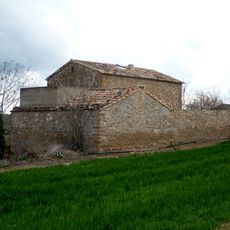
Cal Mutxatxà
2.3 km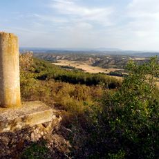
Tossal del Mas de Nadal
1.2 km
Puig Castellar (Biosca)
1.1 km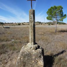
Creu de terme de Sant Pelegrí
2.1 km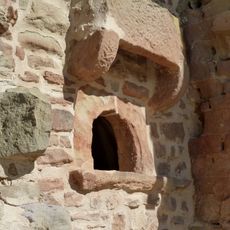
Antic Forn de Talteüll
24 m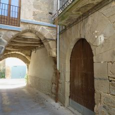
Cal Joan Senillosa
2.8 km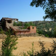
Mas d'Auró
2.1 km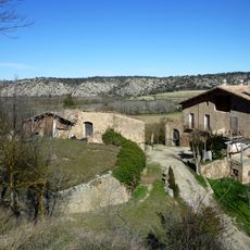
Mas Piquer
2.6 km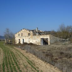
La Caseta
1.7 km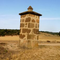
Corral de les Mates
1.3 km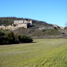
Senillosa
2.7 kmReviews
Visited this place? Tap the stars to rate it and share your experience / photos with the community! Try now! You can cancel it anytime.
Discover hidden gems everywhere you go!
From secret cafés to breathtaking viewpoints, skip the crowded tourist spots and find places that match your style. Our app makes it easy with voice search, smart filtering, route optimization, and insider tips from travelers worldwide. Download now for the complete mobile experience.

A unique approach to discovering new places❞
— Le Figaro
All the places worth exploring❞
— France Info
A tailor-made excursion in just a few clicks❞
— 20 Minutes