
Nucli històric d'Aiguamúrcia, human settlement in Aiguamúrcia, Alt Camp, Camp de Tarragona, Spain
Location: Aiguamúrcia
Elevation above the sea: 373 m
GPS coordinates: 41.32941,1.35855
Latest update: March 12, 2025 17:05
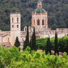
Santes Creus
2 km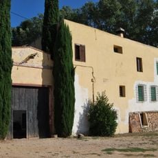
Farga de Vila-rodona
1.5 km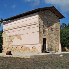
Columbari de Vila-rodona
2.6 km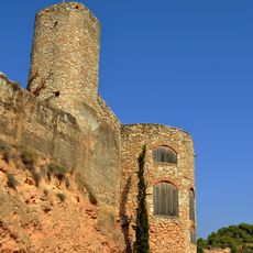
Castell de Vila-rodona
2 km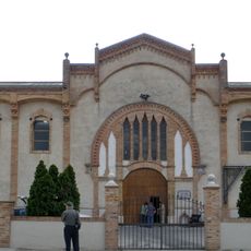
Celler de la Cooperativa Agrícola de Vila-rodona
2.6 km
Castell de Vilardida
4.8 km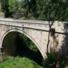
Pont de pedra de Santes Creus
2.3 km
Santa Maria de Vila-rodona
2.1 km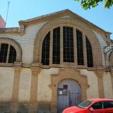
Celler de la Cooperativa Agrícola de Santes Creus
2.2 km
Sant Pere de les Destres
2 km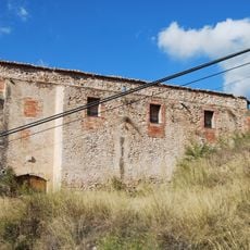
Sant Llorenç de Vila-rodona
1.6 km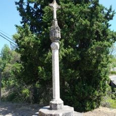
Creu de terme d'Aiguamúrcia
2.3 km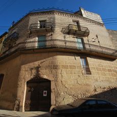
Cal Rata
2.1 km
Santa Maria de les Pobles
5 km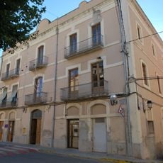
Casa de la Vila, Vilarrodona
2.1 km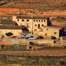
Mas Rubió
3 km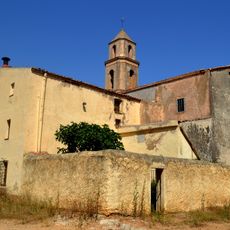
Santa Maria de Cal Canonge
4 km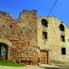
Torre de les Destres
2 km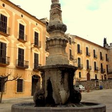
Font de Sant Bernat Calbó
1.9 km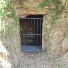
Pou de la neu de Vila-rodona
2.2 km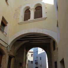
Portal d'en Parera
1.9 km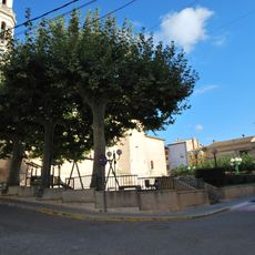
Plaça dels Arbres
2.1 km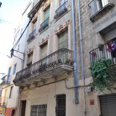
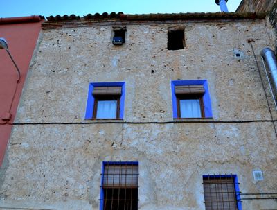
House in carrer Doctor Ferran 3
2 km
Mas d'en Guerra
4.7 km
Santa Maria d'Aiguamúrcia
45 m
Celler del Sindicat Agrícola d'Aiguamúrcia
136 m
Celler del Sindicat Agrícola
2.1 km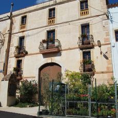
Habitatge a Vilardida
4.8 kmReviews
Visited this place? Tap the stars to rate it and share your experience / photos with the community! Try now! You can cancel it anytime.
Discover hidden gems everywhere you go!
From secret cafés to breathtaking viewpoints, skip the crowded tourist spots and find places that match your style. Our app makes it easy with voice search, smart filtering, route optimization, and insider tips from travelers worldwide. Download now for the complete mobile experience.

A unique approach to discovering new places❞
— Le Figaro
All the places worth exploring❞
— France Info
A tailor-made excursion in just a few clicks❞
— 20 Minutes