
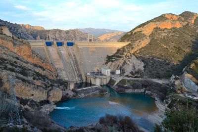
Santa Anna dam, dam in Spain
Location: Castillonroy
Official opening: 1961
Elevation above the sea: 280.7 m
Height: 99.6 m
Length: 242 m
GPS coordinates: 41.88271,0.58027
Latest update: March 13, 2025 11:21
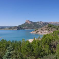
Pantà de Santa Anna
0 m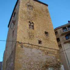
Torre dels Albano
4.8 km
Santa Maria de Vallverd
6.6 km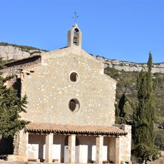
Mare de Déu de Cérvoles
6.6 km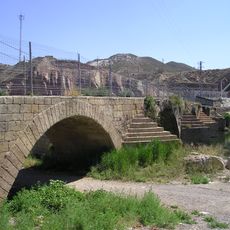
Pont vell
5.9 km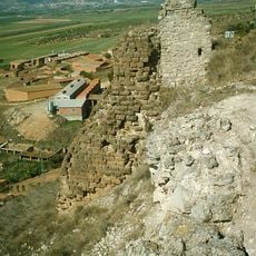
Castell d'Algerri
8.6 km
Santa Maria d'Algerri
8.8 km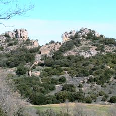
Els Picons
7 km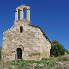
Sant Julià de Boix
2.6 km
Castell de la Figuera
8.3 km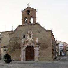
Església vella de Sant Pere d'Alfarràs
6 km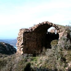
Castell i vilatge de Montessor
7 km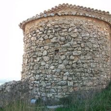
Sant Josep de la Figuera
8.3 km
Ajuntament d'Almenar
9.5 km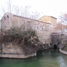
Molí del Marquès
6 km
Església de la Concepció de Maria i Sant Sebastià d'Ivars
3.6 km
Punta d'Óssos
8.6 km
Sant Nicolau d'Andaní
4.7 km
Casa Seró
9.5 km
Ermita de Sant Blai
9 km
Trullets
8.6 km
Cal Pepet
9.5 km
Torre de Cérvoles
6.3 km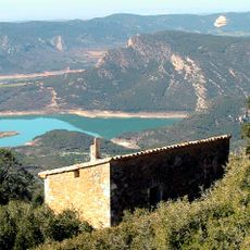
Mas Gorreta
6.5 km
Font de Baix
8.9 km
La Seroneta
4 km
Creu de terme
8.9 km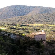
Sant Salvador
6.2 kmVisited this place? Tap the stars to rate it and share your experience / photos with the community! Try now! You can cancel it anytime.
Discover hidden gems everywhere you go!
From secret cafés to breathtaking viewpoints, skip the crowded tourist spots and find places that match your style. Our app makes it easy with voice search, smart filtering, route optimization, and insider tips from travelers worldwide. Download now for the complete mobile experience.

A unique approach to discovering new places❞
— Le Figaro
All the places worth exploring❞
— France Info
A tailor-made excursion in just a few clicks❞
— 20 Minutes