
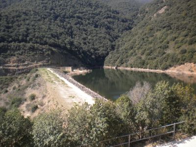
Presa de Vallfornès, construcció que conté el pantà de Vallfornès
Location: Cànoves i Samalús
Inception: 1985
Official opening: 1989
Elevation above the sea: 461 m
Height: 62 m
Length: 160 m
GPS coordinates: 41.71998,2.34202
Latest update: April 14, 2025 04:42
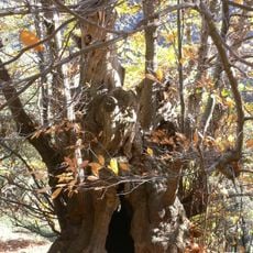
Castanyer de Can Cuc
1.9 km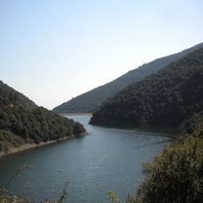
Pantà de Vallfornès
1 m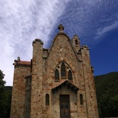
Sant Salvador de Terrades
826 m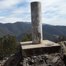
Roca Centella
1.6 km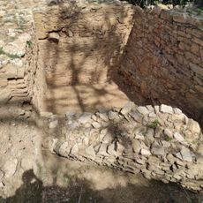
Poblat ibèric de Puig del Castell
2.8 km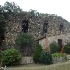
Castell de Cànoves
2.5 km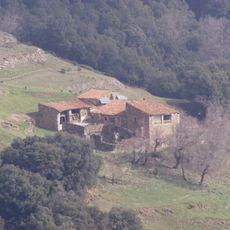
El Cortès
2.6 km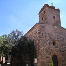
Sant Muç de Cànoves
3.1 km
Vallfornès
2.3 km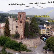
Turó del Pi Novell
2.9 km
Can Quintana
941 m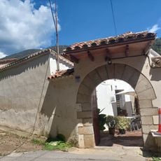
Can Congost
2 km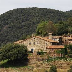
Can Cuc de la Muntanya
779 m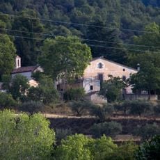
Can Bot
3.1 km
Planes del Cortès
3.1 km
Les Planes del Cortés
3.1 km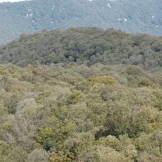
El Mojó
1.8 km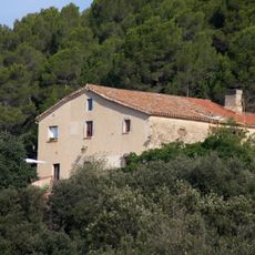
Can Volard
2.6 km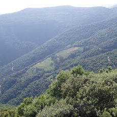
Baga del Cortès
2.3 km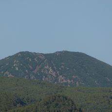
Turó Monner
3.1 km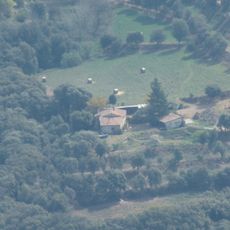
Can Mets
886 m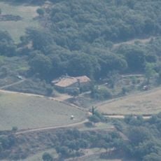
Can Balder
1 km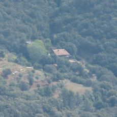
Can Pou
975 m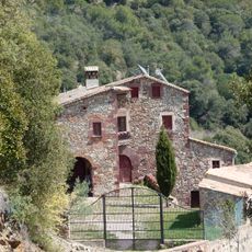
Can Valls
3.1 km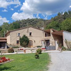
Can Domènec
1.8 km
Can Morera
815 m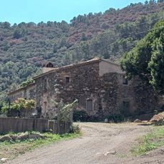
Can Rec
1.8 km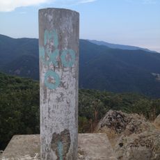
Roca Centella
1.6 kmReviews
Visited this place? Tap the stars to rate it and share your experience / photos with the community! Try now! You can cancel it anytime.
Discover hidden gems everywhere you go!
From secret cafés to breathtaking viewpoints, skip the crowded tourist spots and find places that match your style. Our app makes it easy with voice search, smart filtering, route optimization, and insider tips from travelers worldwide. Download now for the complete mobile experience.

A unique approach to discovering new places❞
— Le Figaro
All the places worth exploring❞
— France Info
A tailor-made excursion in just a few clicks❞
— 20 Minutes