
Presa d'Alòs, presa que conté l'embassament d'Alòs
Location: Alòs de Balaguer
Official opening: 1991
Elevation above the sea: 267 m
Height: 20.5 m
Length: 70 m
GPS coordinates: 41.90650,0.89303
Latest update: April 3, 2025 02:02
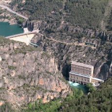
Camarasa hydro power plant
305 m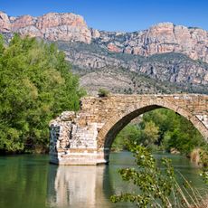
Pont de Camarasa
3.3 km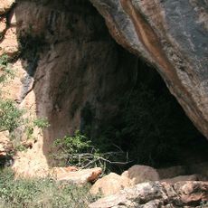
Cova del Tabac
1.4 km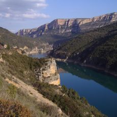
Aiguabarreig Segre-Noguera Pallaresa
463 m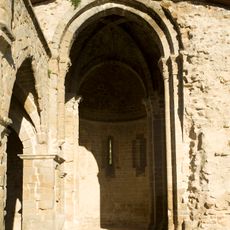
Sant Miquel de Camarasa
3.6 km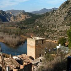
Castell de Camarasa
3.6 km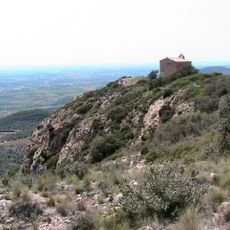
Ermita de Sant Jordi
2.2 km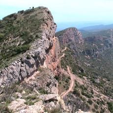
Pala Alta
4.8 km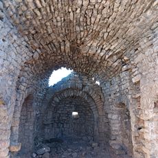
Santa Maria de la Maçana
2.5 km
Ruta dels Orígens
2.4 km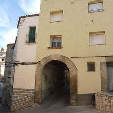
Recinte emmurallat de Camarasa
3.8 km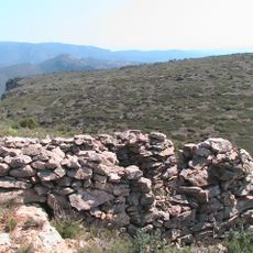
El Mu
898 m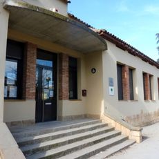
Escola Dos Rius
4 km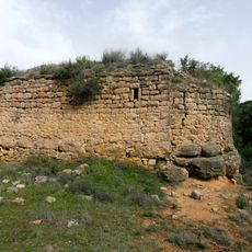
Sant Martí de la Nou
4.2 km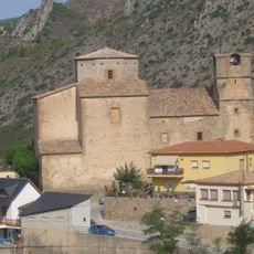
Sant Antoni i Sant Jordi de Camarasa
3.8 km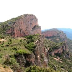
Pala del Coll de Porta
3.9 km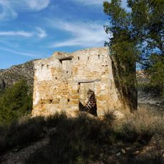
Castellot del temps carlí
3.6 km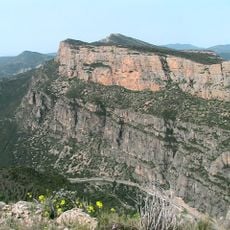
L'Extrem
2.1 km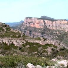
Mont-roig
1.3 km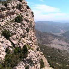
Pala dels Pelats
5.2 km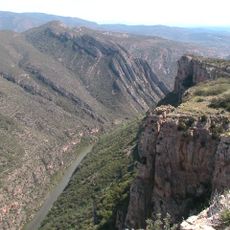
Castellàs
3.3 km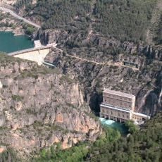
Camarasa Dam
4.4 km
Pont d'Alòs de Balaguer
4.4 km
Cal Serradell
2.8 km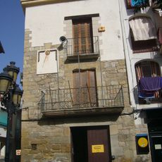
Casa de la Vila
3.7 km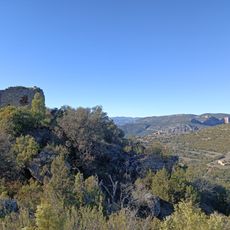
Castell de la Maçana
2.5 km
Plaça Major
3.7 km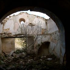
La Maçana
2.8 kmReviews
Visited this place? Tap the stars to rate it and share your experience / photos with the community! Try now! You can cancel it anytime.
Discover hidden gems everywhere you go!
From secret cafés to breathtaking viewpoints, skip the crowded tourist spots and find places that match your style. Our app makes it easy with voice search, smart filtering, route optimization, and insider tips from travelers worldwide. Download now for the complete mobile experience.

A unique approach to discovering new places❞
— Le Figaro
All the places worth exploring❞
— France Info
A tailor-made excursion in just a few clicks❞
— 20 Minutes