
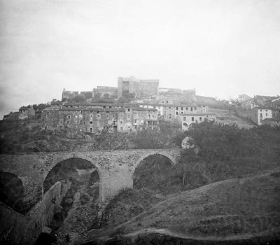
Nucli històric de Falset, centre històric de Falset
Location: Falset
Inception: 12 century
Elevation above the sea: 379 m
Address: Entre muralles
GPS coordinates: 41.14511,0.81687
Latest update: March 18, 2025 12:40
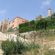
Castell de Falset
57 m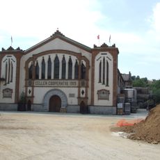
Celler Cooperatiu de Falset
296 m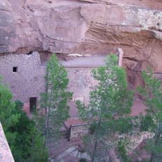
Sant Gregori de Falset
1.7 km
Santa Maria de Falset
237 m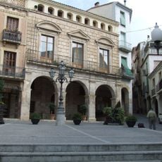
Casa consistorial de Falset
292 m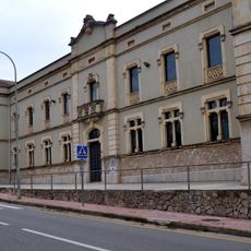
Escola Antoni Vilanova
458 m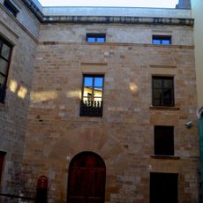
Palau dels Comtes d'Azahara
339 m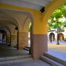
Plaça de la Quartera
280 m
Can Magrinyà
153 m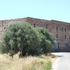
Convent de Sant Marçal
2.1 km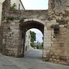
Muralla de Falset
132 m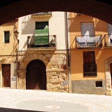
Plaça d'Àngel Marquès
133 m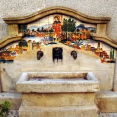
Font del carrer de la Font del Forn
223 m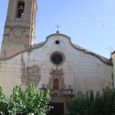
Santa Maria de Marçà
2.5 km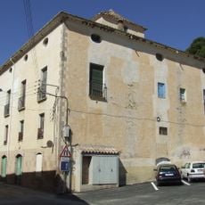
Cal Montagut
2.4 km
Safareigs i font del Batlle
137 m
Font de l'Amades
272 m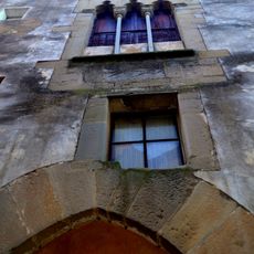
Can Rull
311 m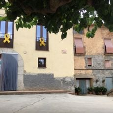
L'Hogar
4.5 km
Sant Antoni de Falset
1.6 km
Edifici del Banc Central
303 m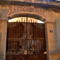
La Peixeteria
191 m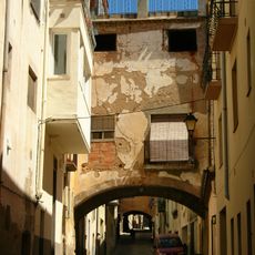
Carrer dels Arcs
332 m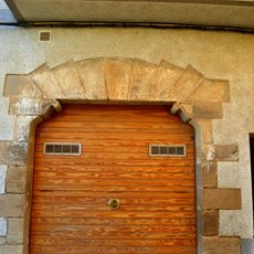
Can Rué
86 m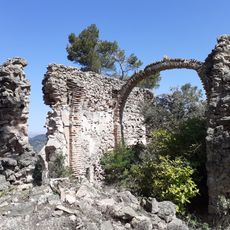
Sant Cristòfol
1.6 km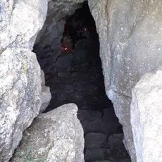
Cova de Sant Cristòfol
1.6 km
Can Sans
139 m
Caseta de la Vall
4.4 kmReviews
Visited this place? Tap the stars to rate it and share your experience / photos with the community! Try now! You can cancel it anytime.
Discover hidden gems everywhere you go!
From secret cafés to breathtaking viewpoints, skip the crowded tourist spots and find places that match your style. Our app makes it easy with voice search, smart filtering, route optimization, and insider tips from travelers worldwide. Download now for the complete mobile experience.

A unique approach to discovering new places❞
— Le Figaro
All the places worth exploring❞
— France Info
A tailor-made excursion in just a few clicks❞
— 20 Minutes