
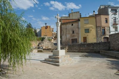
Abeurador i safareig públic, openbare wasplaats in Barberà de la Conca, Spanje
Location: Barberà de la Conca
Inception: 18 century
Elevation above the sea: 441 m
Address: Carrer de la Societat, Raval de les Eres
GPS coordinates: 41.41322,1.22794
Latest update: April 29, 2025 08:24
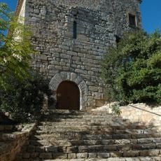
Castell de Barberà
213 m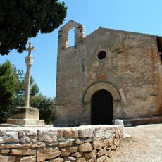
Santa Anna de Barberà
3.5 km
Santa Maria de Sarral
3.9 km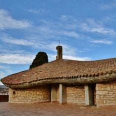
Ermita dels Sants Metges
4 km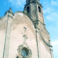
Santa Maria de Barberà de la Conca
286 m
Carrer dels Jueus
3.8 km
Roman dam of Sarral
3.9 km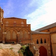
Celler Cooperatiu de Barberà de la Conca
362 m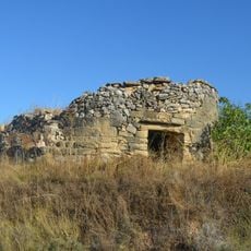
El Pinetell de Barberà
3.9 km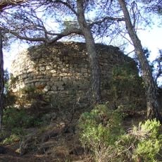
Torre d'Ambigats
2.4 km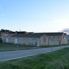
Celler de la Societat de Barberà
677 m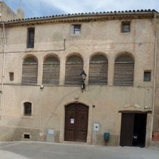
Abadia de Barberà de la Conca
243 m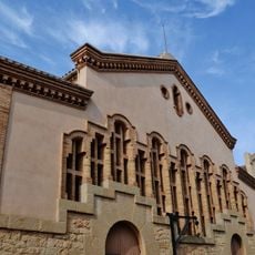
Celler Cooperatiu de Pira
2.5 km
Casa de la Societat
208 m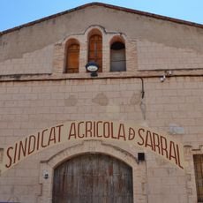
Sindicat Agrícola de Sarral
3.8 km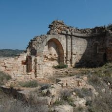
Sant Pere d'Anguera
2.8 km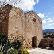
Antiga església parroquial d'Ollers
2.4 km
Molí de l'Amorós
2.5 km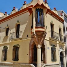
Can Garrofa
3.9 km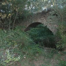
Pont d'Ollers
2 km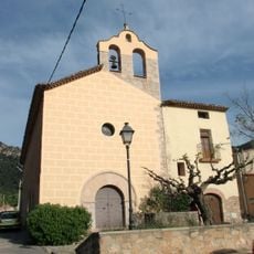
Sant Salvador de Prenafeta
3.9 km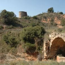
Pont d'Anguera
2.8 km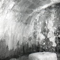
Molí del Guineu
482 m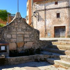
Font Vella
21 m
Santa Maria d'Ollers
2.4 km
Pou d'Ollers
2.4 km
Mas de Gassol
3.4 km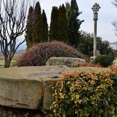
Creu de terme de Sarral
3.8 kmReviews
Visited this place? Tap the stars to rate it and share your experience / photos with the community! Try now! You can cancel it anytime.
Discover hidden gems everywhere you go!
From secret cafés to breathtaking viewpoints, skip the crowded tourist spots and find places that match your style. Our app makes it easy with voice search, smart filtering, route optimization, and insider tips from travelers worldwide. Download now for the complete mobile experience.

A unique approach to discovering new places❞
— Le Figaro
All the places worth exploring❞
— France Info
A tailor-made excursion in just a few clicks❞
— 20 Minutes