
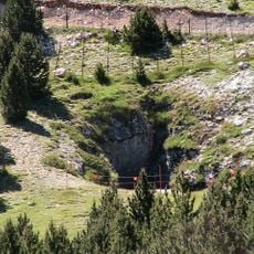
Barraca de Sangonelles, building in la Vansa i Fórnols (Alt Urgell, Catalonia)
Location: La Vansa i Fórnols
Elevation above the sea: 1,945 m
GPS coordinates: 42.19886,1.50740
Latest update: March 6, 2025 00:38

La Bòfia
4.4 km
Serra de Port del Comte
1.7 km
Tossa Pelada
1.5 km
Prats de Bacies
5.2 km
Puig de les Morreres
6 km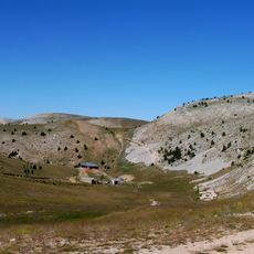
El Vulturó
2.5 km
Serres d'Odèn - Port del Comte
4 km
Sant Esteve de Tuixent
6 km
Tossal d'Estivella
2.8 km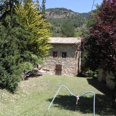
Cal Serni
5.9 km
Sant Bernabé de l'Alzina d'Alinyà
5.3 km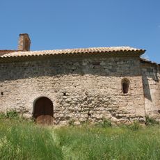
Sant Jaume de Fórnols del Cadí
4.7 km
Sant Martí de la Vansa
4.5 km
Cal Joan del Batlle
5.3 km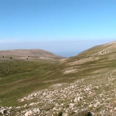
Coma de la Comtessa
2.5 km
Roca de Migdia
5.1 km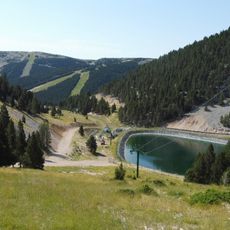
Clot de la Vall
3.4 km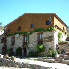
Molí de Fórnols
5.2 km
El Carreu
5 km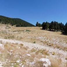
Prat de Botons
4 km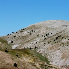
Prat del Duc
2.3 km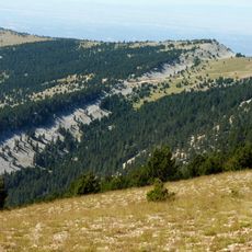
La Ginebrosa
4.1 km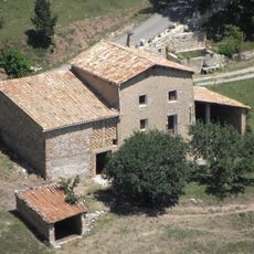
Cal Cameta
5.7 km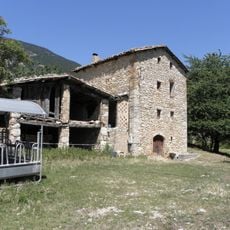
Cal Cabrer (la Coma)
5.8 km
Coma dels Marrans
5.4 km
Sant Pere de la Vansa
3.8 km
Cortal del Ramon
4.4 km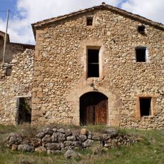
El Molí Vell
6 kmReviews
Visited this place? Tap the stars to rate it and share your experience / photos with the community! Try now! You can cancel it anytime.
Discover hidden gems everywhere you go!
From secret cafés to breathtaking viewpoints, skip the crowded tourist spots and find places that match your style. Our app makes it easy with voice search, smart filtering, route optimization, and insider tips from travelers worldwide. Download now for the complete mobile experience.

A unique approach to discovering new places❞
— Le Figaro
All the places worth exploring❞
— France Info
A tailor-made excursion in just a few clicks❞
— 20 Minutes