
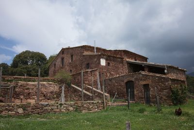
Can Plans, building in Figaró-Montmany, Vallès Oriental, Barcelona, Catalonia, Spain
Location: Figaró-Montmany
Elevation above the sea: 425 m
GPS coordinates: 41.71794,2.28619
Latest update: March 26, 2025 11:12
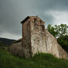
Sant Cristòfol de Monteugues
1.2 km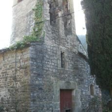
Sant Pere de Vallcàrquera
892 m
Rectoria de Vallcàrquera
1.1 km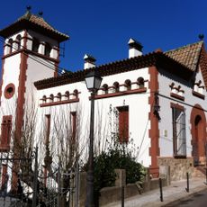
Can Mestre
1.2 km
Hotel Congost
1.2 km
Sant Rafael i Santa Anna de Figaró-Montmany
1.1 km
Molí del Mig
1.1 km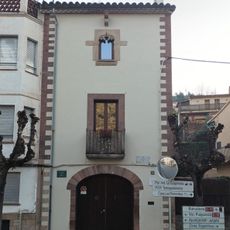
Can Xicola del Figueró
1.2 km
Can Ventureta House
1.1 km
Cases a la carretera de Ribes
1.1 km
Can Recasens
1.2 km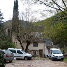
Can Xicola
887 m
Can Gallart
1.2 km
Can Delgado
1.2 km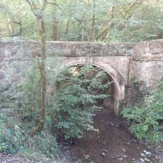
Pont del Molí
915 m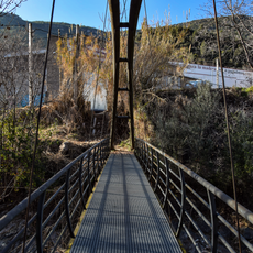
Pont de la Rompuda
1.2 km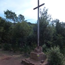
Creu de Can Plans
521 m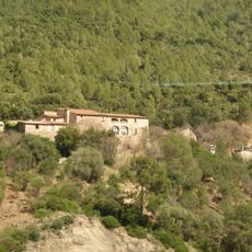
Can Mas
1 km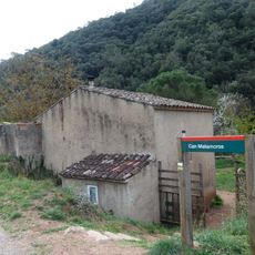
Can Pere Planes
973 m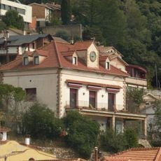
Torre del Rellotge
1.1 km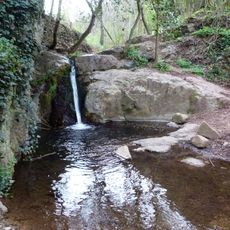
Gorg de la passera de can Bosc
1.1 km
Vall-de-roses
929 m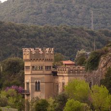
Castell del Rubinat
1.2 km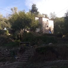
Can Mestres
1 km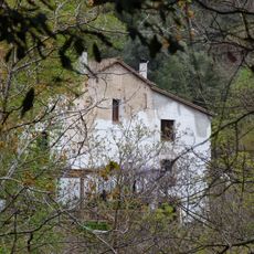
Can Bosc
1.1 km
Can Vallcorba
1.2 km
Castanyer del Ciment
1 km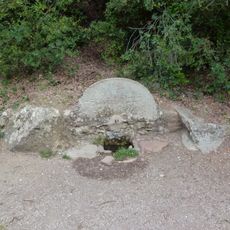
Font del Molí
925 mReviews
Visited this place? Tap the stars to rate it and share your experience / photos with the community! Try now! You can cancel it anytime.
Discover hidden gems everywhere you go!
From secret cafés to breathtaking viewpoints, skip the crowded tourist spots and find places that match your style. Our app makes it easy with voice search, smart filtering, route optimization, and insider tips from travelers worldwide. Download now for the complete mobile experience.

A unique approach to discovering new places❞
— Le Figaro
All the places worth exploring❞
— France Info
A tailor-made excursion in just a few clicks❞
— 20 Minutes