
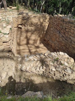
Poblat ibèric de Puig del Castell, archaeological site in Cànoves i Samalús, Spain
Location: Cànoves i Samalús
Elevation above the sea: 631 m
GPS coordinates: 41.69787,2.32491
Latest update: March 16, 2025 19:28
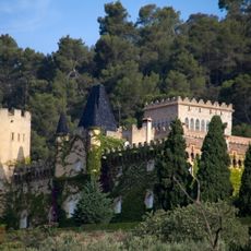
Castell de Samalús
1.2 km
Roca Centella
2.4 km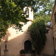
Ermita de Santa Eugènia
967 m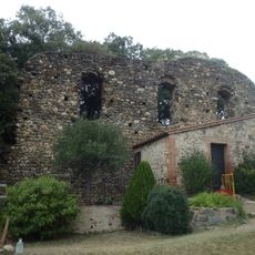
Castell de Cànoves
2.4 km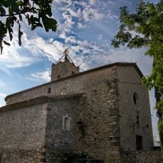
Sant Andreu de Samalús
1.4 km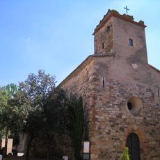
Sant Muç de Cànoves
2.5 km
Can Flaqué
601 m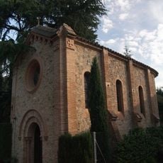
Santuari de la Verge de la Salut
1.3 km
Can Congost
2.2 km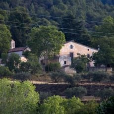
Can Bot
961 m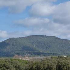
Turó de Santa Margarida
1.5 km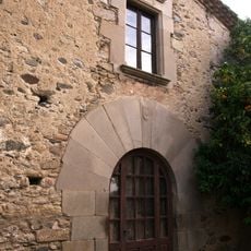
Can Julià
1.1 km
Escoles Públiques de Samalús
1 km
Can Centelles
2.2 km
Can Prat
1.6 km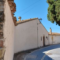
Can Berenguer
1.4 km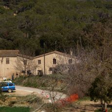
Can Casa Vella
2.7 km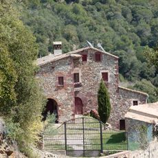
Can Valls
2.7 km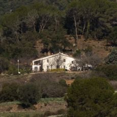
Can Bullícia
2.2 km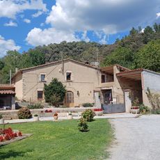
Can Domènec
2.2 km
Can Bruguera
2.5 km
Can Monells
2.5 km
Can Pericàs
780 m
Can Perera Nou
646 m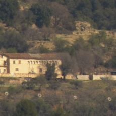
Can Perera Vell
656 m
Can Raïm
2.3 km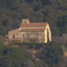
Can Torrent
491 m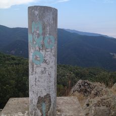
Roca Centella
2.4 kmReviews
Visited this place? Tap the stars to rate it and share your experience / photos with the community! Try now! You can cancel it anytime.
Discover hidden gems everywhere you go!
From secret cafés to breathtaking viewpoints, skip the crowded tourist spots and find places that match your style. Our app makes it easy with voice search, smart filtering, route optimization, and insider tips from travelers worldwide. Download now for the complete mobile experience.

A unique approach to discovering new places❞
— Le Figaro
All the places worth exploring❞
— France Info
A tailor-made excursion in just a few clicks❞
— 20 Minutes