
Roble de Eltzaburu, protected area in Spain
Location: Elzaburu
Inception: 1991
GPS coordinates: 43.00882,-1.71702
Latest update: April 8, 2025 12:19
Mapa de Abauntz
6.1 km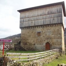
Casa Tore Jauregia de Donamaria
12 km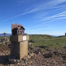
Erga
11.8 km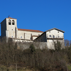
San Bizente eliza
11.9 km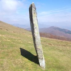
Iruñarriko zutarria
12.8 km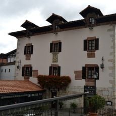
Beola House-Palace
12.9 km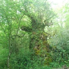
Kisulabe oak
6.6 km
Ermitas de Navarra
9.1 km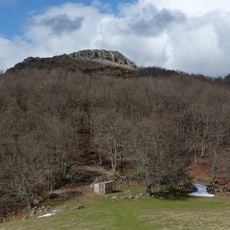
Ireber
11.2 km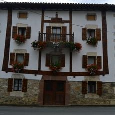
Etxatoa etxea
12.9 km
Almandozko pilotalekua
12.8 km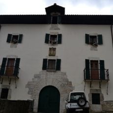
Jauregia etxea
12.8 km
San Pedro eliza
12.9 km
Erasun – Igoa (Isasti)
8.1 km
Iruñarri
12.9 km
Azkenazko lepoa
11 km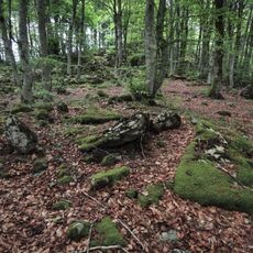
Elkorra
9.3 km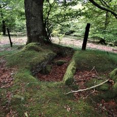
Alkardur 1 mendebalde (Otzola)
9.4 km
Bi Ahizpen Sepultura (Leitzegi)
11.4 km
Garbitokia eta elkartea
9.1 km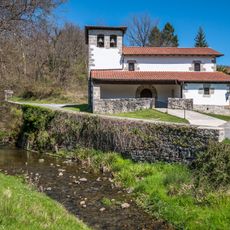
Jauntsarasko eliza
7 km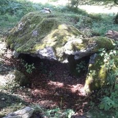
Pitxortzar 1 ekialde
5 km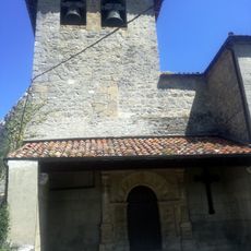
Ihabengo eliza
7.7 km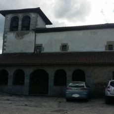
Iglesia de Igoa
6.1 km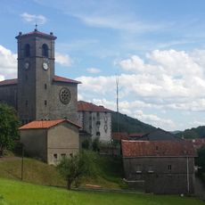
San Juan eliza
9.1 km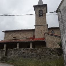
Beramendiko eliza
9.1 km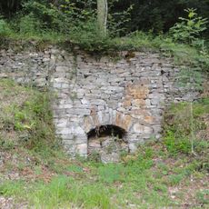
Calera de la calla Alta
12.9 km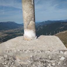
Trinidad de Erga
11.8 kmReviews
Visited this place? Tap the stars to rate it and share your experience / photos with the community! Try now! You can cancel it anytime.
Discover hidden gems everywhere you go!
From secret cafés to breathtaking viewpoints, skip the crowded tourist spots and find places that match your style. Our app makes it easy with voice search, smart filtering, route optimization, and insider tips from travelers worldwide. Download now for the complete mobile experience.

A unique approach to discovering new places❞
— Le Figaro
All the places worth exploring❞
— France Info
A tailor-made excursion in just a few clicks❞
— 20 Minutes