
Lo Pont, bridge in Os de Balaguer (Catalonia)
Location: Os de Balaguer
Location: Estopiñán del Castillo
GPS coordinates: 41.97362,0.61168
Latest update: April 2, 2025 04:47
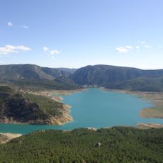
Canelles Reservoir
558 m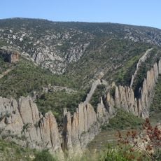
Roques de la Vila
3.7 km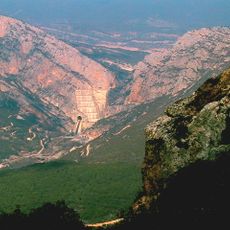
Presa de Canelles
558 m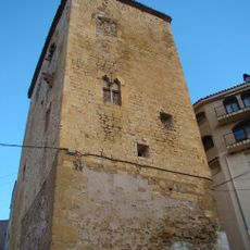
Torre dels Albano
8.3 km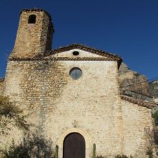
Mare de Déu de Corçà
8.8 km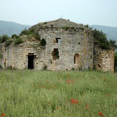
Santa Maria de Vallverd
4.5 km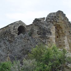
Castillo-Ermita de San Vicente
3.7 km
Puig de Millà
5.9 km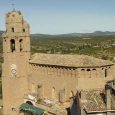
Iglesia de San Salvador
6.2 km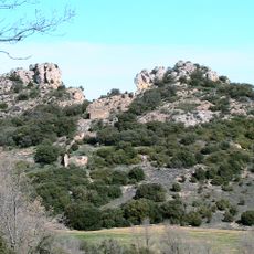
Els Picons
5.9 km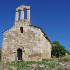
Sant Julià de Boix
8.9 km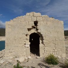
Sant Salvador de Blancafort
2 km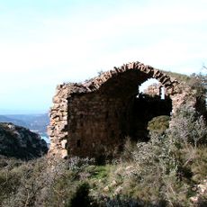
Castell i vilatge de Montessor
5.9 km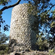
Torre dels Masos de Millà
7.3 km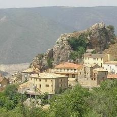
Castell de Corçà
8.8 km
Punta d'Óssos
3.2 km
Santa Marina de Soriana
7 km
Sant Miquel d'Estopanyà
5 km
Sant Antoni de Pàdua d'Alberola
7 km
Ermita de Santa Sofía
9.2 km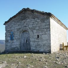
Ermita de San Marcos
3.5 km
Ermita de San Miguel
7.9 km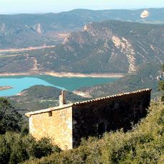
Mas Gorreta
6.4 km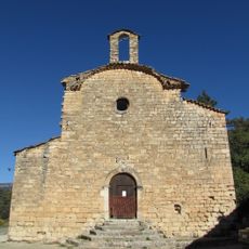
Sant Pere de Millà
7.8 km
Ermita de San Macario
5.9 km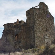
Sant Miquel de Fet
7.7 km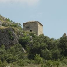
Hermitage of Sant Esteve d'Estanya
9.2 km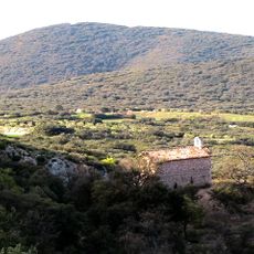
Sant Salvador
7.7 kmReviews
Visited this place? Tap the stars to rate it and share your experience / photos with the community! Try now! You can cancel it anytime.
Discover hidden gems everywhere you go!
From secret cafés to breathtaking viewpoints, skip the crowded tourist spots and find places that match your style. Our app makes it easy with voice search, smart filtering, route optimization, and insider tips from travelers worldwide. Download now for the complete mobile experience.

A unique approach to discovering new places❞
— Le Figaro
All the places worth exploring❞
— France Info
A tailor-made excursion in just a few clicks❞
— 20 Minutes