
Nenäkivi, rock formation in Orimattila, Finland
Location: Orimattila
Part of: political border
GPS coordinates: 60.70806,25.69765
Latest update: May 4, 2025 12:28
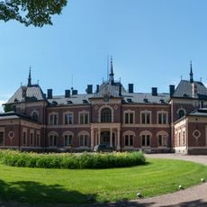
Malmgård manor
22.3 km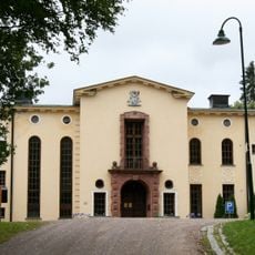
Saari Manor in Mäntsälä
15.3 km
Porlammi
16.7 km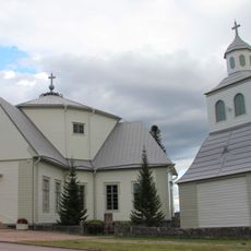
Myrskylä Church
9.5 km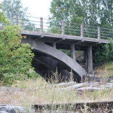
Tönnö Bridge
9.9 km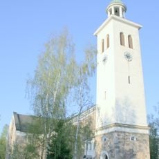
Orimattila Church
11.3 km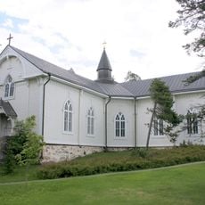
Askola Church
20.4 km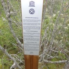
Tornikallio geodetic marker
16.7 km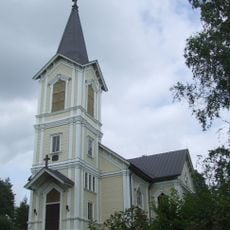
Liljendal church
24.5 km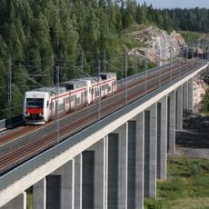
Luhdanmäen rautatiesilta
22.4 km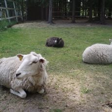
Orimattilan kotieläinpuisto
12.7 km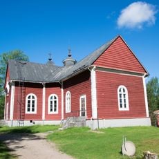
Pukkila Chuch
9.2 km
Kiparkatti
9.9 km
Artjärvi Church
21.1 km
Porlammin kotiseutumuseo
17.8 km
Kuivanto Church
23.4 km
Mäntsälän jäähalli
22.4 km
Johannes Linnakoski Youth home
21.5 km
Orimattila town library
11.2 km
Myrskylä library
9.4 km
Myrskylä Museum
9.5 km
Askola Museum
20.5 km
Pukkila Museum
9.5 km
Orimattila Art Museum
11.2 km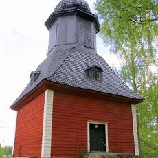
Bell tower of Askola church
20.5 km
Manor house in Prestbacka
20.4 km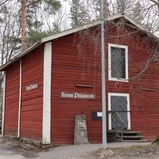
Kirvun pitäjämuseo
22.1 km
Särkijärven kylä- ja kartanomaisema
20.5 kmReviews
Visited this place? Tap the stars to rate it and share your experience / photos with the community! Try now! You can cancel it anytime.
Discover hidden gems everywhere you go!
From secret cafés to breathtaking viewpoints, skip the crowded tourist spots and find places that match your style. Our app makes it easy with voice search, smart filtering, route optimization, and insider tips from travelers worldwide. Download now for the complete mobile experience.

A unique approach to discovering new places❞
— Le Figaro
All the places worth exploring❞
— France Info
A tailor-made excursion in just a few clicks❞
— 20 Minutes