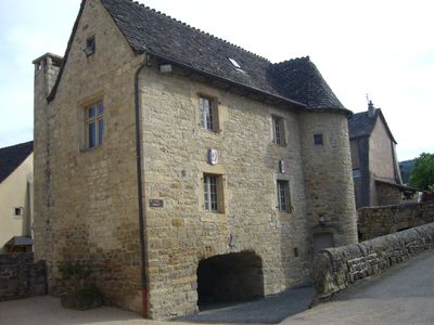
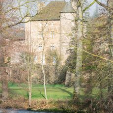
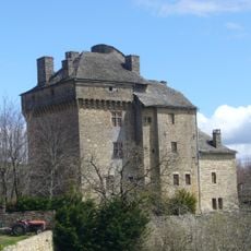
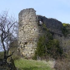
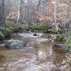
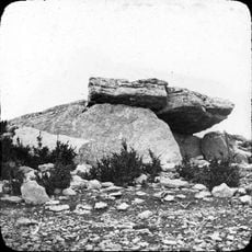
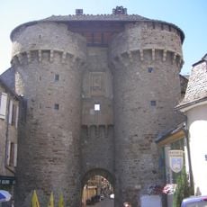
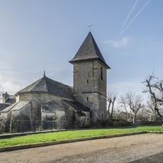
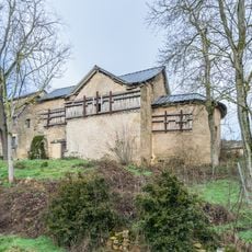
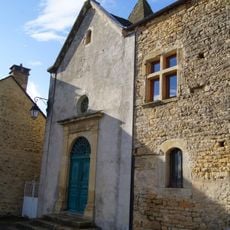
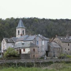
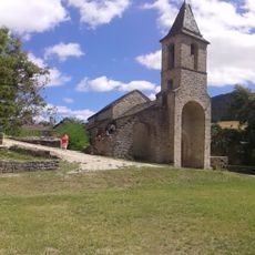
Le Monastier-Pin-Moriès, former commune in Lozère, France
Location: Lozère
Location: Arrondissement of Mende
Inception: March 1, 1974
Elevation above the sea: 610 m
Shares border with: Chirac, Saint-Bonnet-de-Chirac, Les Salelles, La Canourgue, Saint-Germain-du-Teil, Les Salces
Website: http://le-monastierpinmories.fr
GPS coordinates: 44.51472,3.25444
Latest update: June 14, 2025 09:12
Château de Ressouches
6.3 km
Château de Montjézieu
5.3 km
Colagne viaduct
1.9 km
Église Notre-Dame-de-la-Carce de Marvejols
5.1 km
Château de Montferrand
8.3 km
Église Saint-Sauveur-de-Chirac du Monastier
266 m
Piou
3.6 km
Dolmen de Chardonnet
7.1 km
Viaduc de Senouard
5.7 km
Porte de Soubeyran
5.3 km
Pont du Truc de la Fare
1.3 km
Hôtel de Rouvière in Marvejols
5.2 km
Porte de Chanelles
5 km
Château de Saint-Lambert
4.6 km
Porte du Théron
5.1 km
Commanderie de Palhers
3.6 km
Église Saint-Romain de Chirac
1.3 km
Ensemble fortifié du Villard
5.1 km
Pont de Montferrand
8.5 km
Saint Nicholas church in Pin
2.6 km
Former Saint Bonitus church in Saint-Bonnet-de-Chirac
2 km
Église Saint-Jean-Baptiste de Palhers
3.6 km
Église Saint-Pierre-et-Saint-Paul de Saint-Pierre-de-Nogaret
10.4 km
Église Saint-Germain de Saint-Germain-du-Teil
7.7 km
Église Notre-Dame-de-Bon-Secours des Salelles
4.1 km
Church of St Privat, Chanac
5.1 km
Monument de Brazza
4.8 km
House at 9 rue Théodore-Jean in Marvejols
5 kmReviews
Visited this place? Tap the stars to rate it and share your experience / photos with the community! Try now! You can cancel it anytime.
Discover hidden gems everywhere you go!
From secret cafés to breathtaking viewpoints, skip the crowded tourist spots and find places that match your style. Our app makes it easy with voice search, smart filtering, route optimization, and insider tips from travelers worldwide. Download now for the complete mobile experience.
A unique approach to discovering new places❞
— Le Figaro
All the places worth exploring❞
— France Info
A tailor-made excursion in just a few clicks❞
— 20 Minutes