
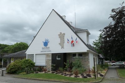
Saint-Nolff, commune in Morbihan, France
Location: canton of Elven
Location: Morbihan
Location: Golfe du Morbihan - Vannes Agglomération
Location: arrondissement of Vannes
Elevation above the sea: 104 m
Shares border with: Elven, Treffléan, Vannes, Saint-Avé, Monterblanc, Theix-Noyalo
Phone: +33297454759
Email: mairie@saint-nolff.fr
Website: https://saint-nolff.fr
GPS coordinates: 47.70361,-2.65167
Latest update: May 23, 2025 22:46
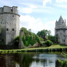
Château de Largoët
3.5 km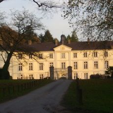
Château de Beauregard
5.4 km
Manoir de Kerlo
3.6 km
Camp de César
5.3 km
Château de Rulliac
6.5 km
Église Saint-Alban d'Elven
5.6 km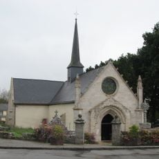
Chapelle Notre-Dame-du-Loc
6.1 km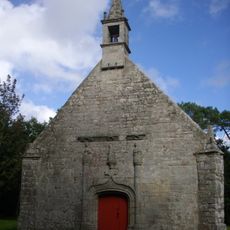
Chapelle Saint-Michel de Saint-Avé
7.6 km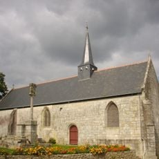
Chapelle du Rohic
6.6 km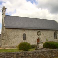
Chapelle de Mangolérian
5.1 km
Chapelle Saint-Clément d'Elven
4.1 km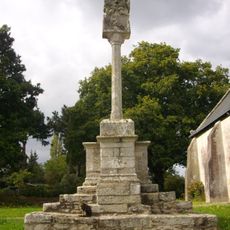
Calvaire du Rohic
6.6 km
Église Saint-Mayeul de Saint-Nolff
119 m
Chapelle Saint-Colomban de Saint-Nolff
2.4 km
Calvaire de Bizole
3.7 km
Chapelle Sainte-Anne de Saint-Nolff
153 m
Croix de Saint-Colombier
2.3 km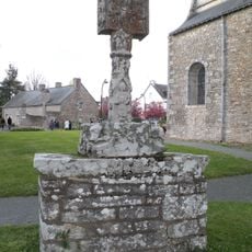
Croix de cimetière de Saint-Avé
6.5 km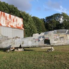
Hangar nº 2
5.8 km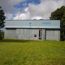
Hangar nº 4
5.9 km
Église Saint-Léon de Treffléan
3.7 km
Église Saint-Jean-Baptiste de Bizole
3.7 km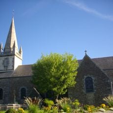
Église Saint-Gervais-et-Saint-Protais de Saint-Avé
6.5 km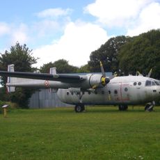
Nord 2501 nº 160
5.9 km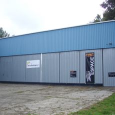
Hall Colonel-Denis-Le Fur
5.9 km
Église Saint-Pierre de Monterblanc
5 km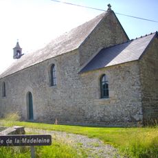
Chapelle de la Madeleine de Plaudren
7.4 km
Chapelle du château de Largoët
3.4 kmVisited this place? Tap the stars to rate it and share your experience / photos with the community! Try now! You can cancel it anytime.
Discover hidden gems everywhere you go!
From secret cafés to breathtaking viewpoints, skip the crowded tourist spots and find places that match your style. Our app makes it easy with voice search, smart filtering, route optimization, and insider tips from travelers worldwide. Download now for the complete mobile experience.

A unique approach to discovering new places❞
— Le Figaro
All the places worth exploring❞
— France Info
A tailor-made excursion in just a few clicks❞
— 20 Minutes